German Rivers Cycling Tour 2018: D-Route 5
After a week at a workshop at Dagstuhl, I spent six days from July 13-18, 2018, following the Saar, Mosel, Rhine, and Main rivers from Merzig, in the state of Saarland, near the German borders with France and Luxembourg, through the states of Rhineland-Palatinate, Hesse, and Baden-Württemberg, to Würzburg, in the state of Bavaria. This is a spectacular route, visiting dozens of charming traditional German villages along winding scenic rivers through vineyards, wheat fields, and forests. Given my starting location in Dagstuhl, located in Saarland, I chose to cycle eastward along D-Route 5 on the German cycling network. I had many options from which to choose for stops, eating every lunch and dinner on a patio with a great view and good food. In addition to being popular with cyclists, many multiday river cruises follow this route. This is German wine country: Riesling weingartens are everywhere (there's also plenty of delicious weißbier, which I sampled every evening).

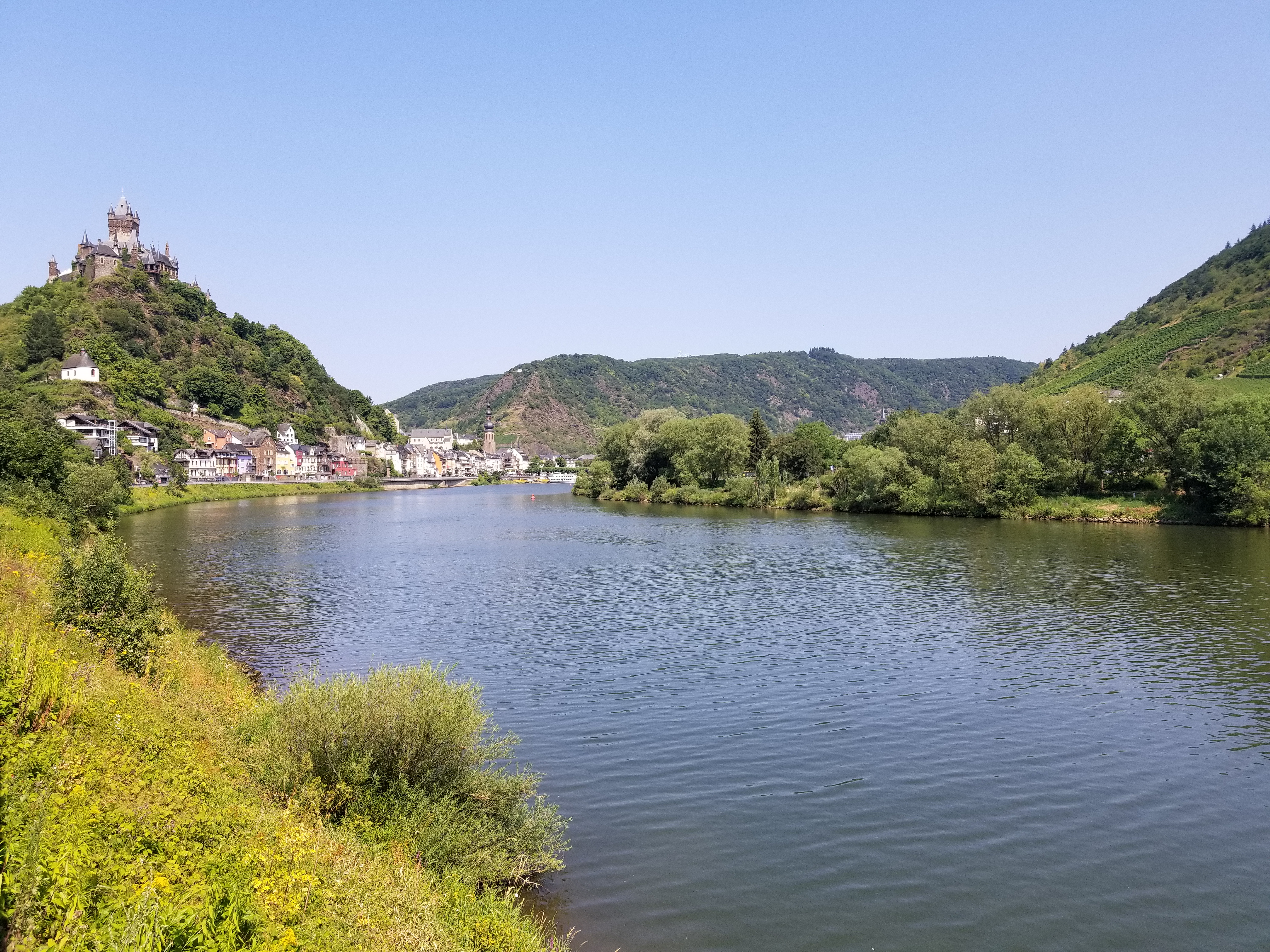
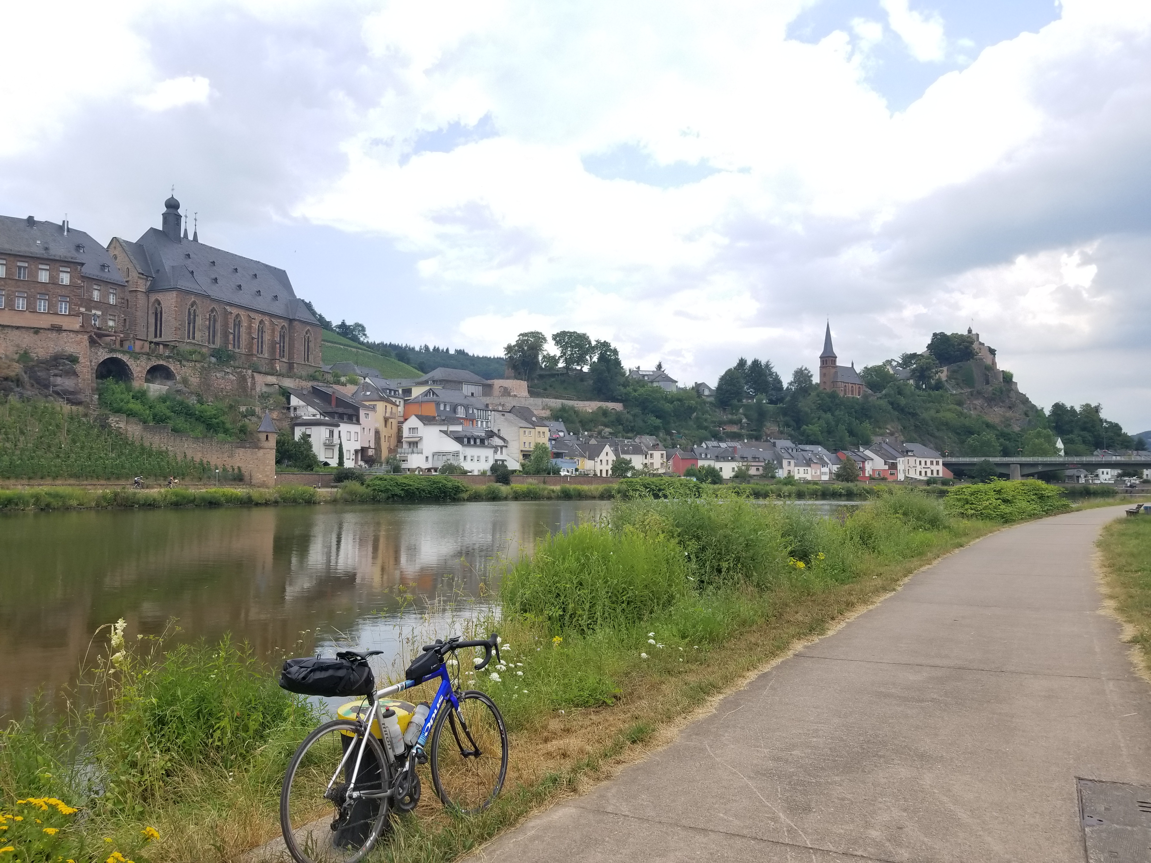
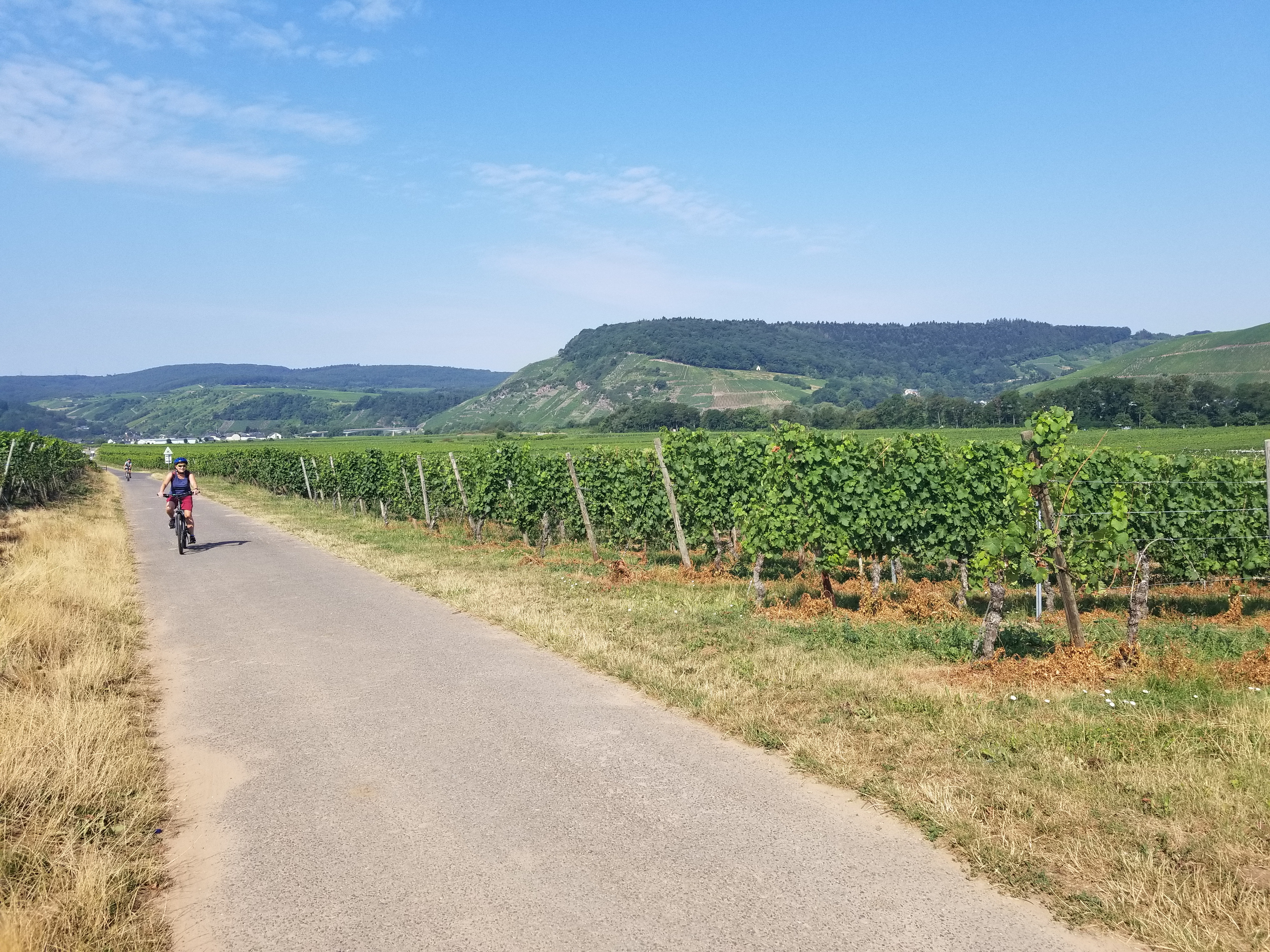
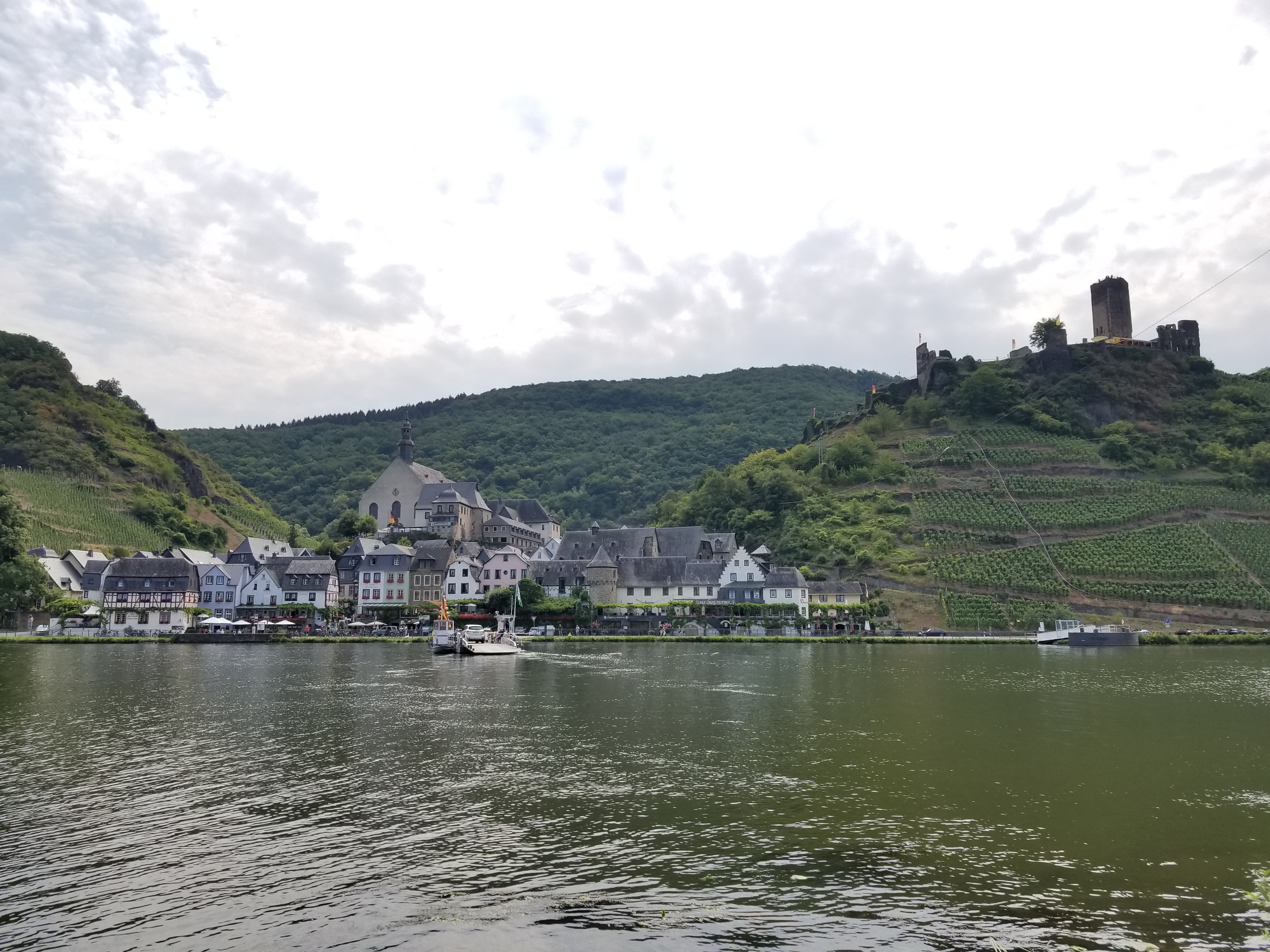
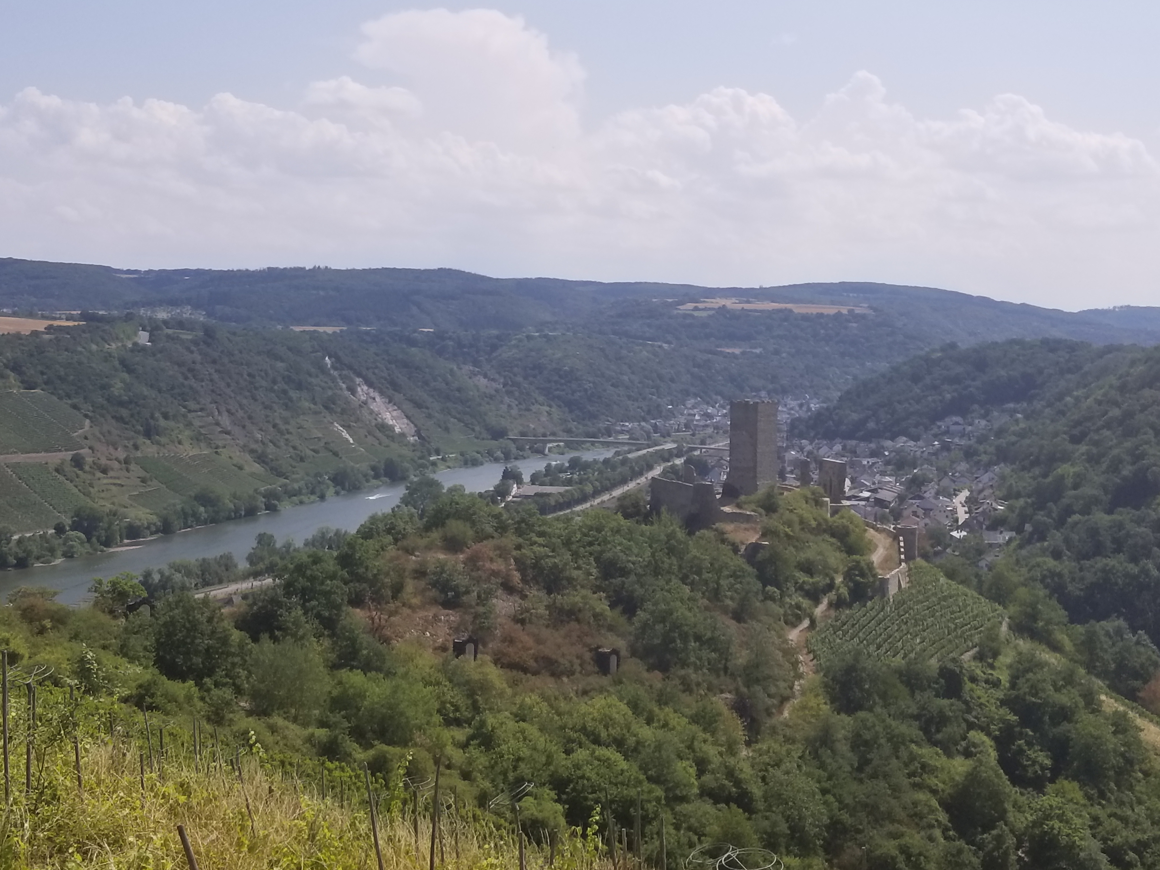
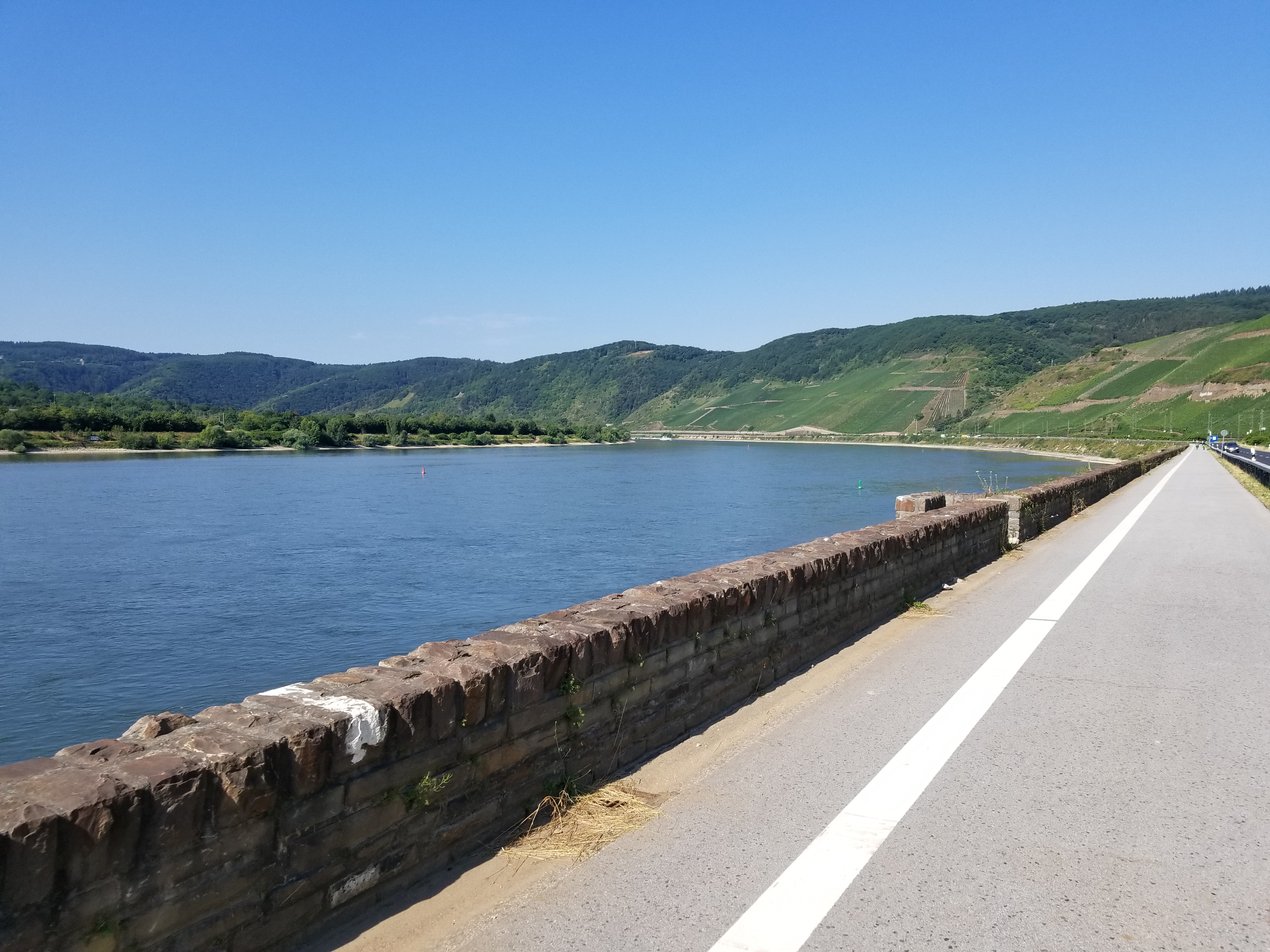
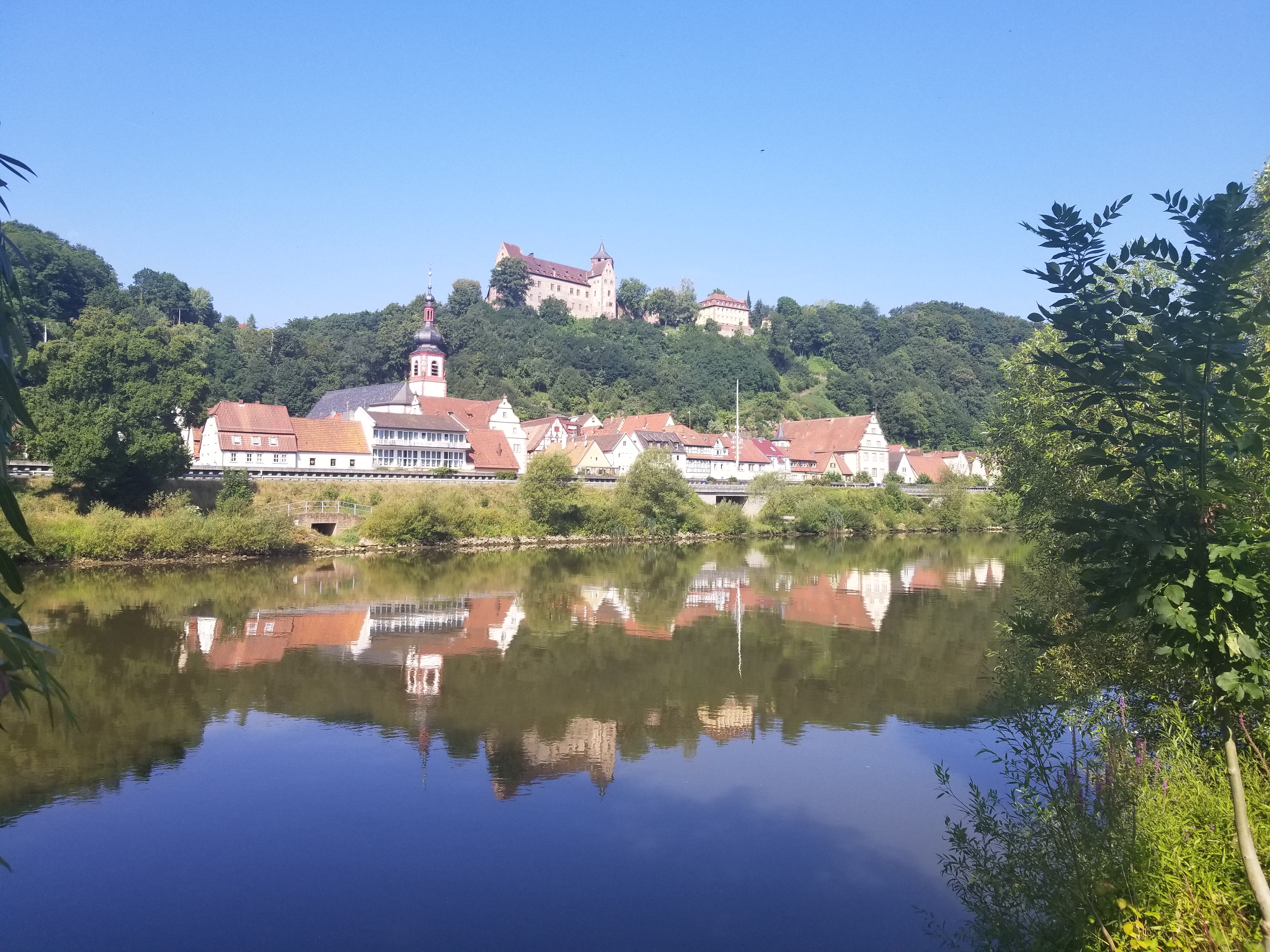
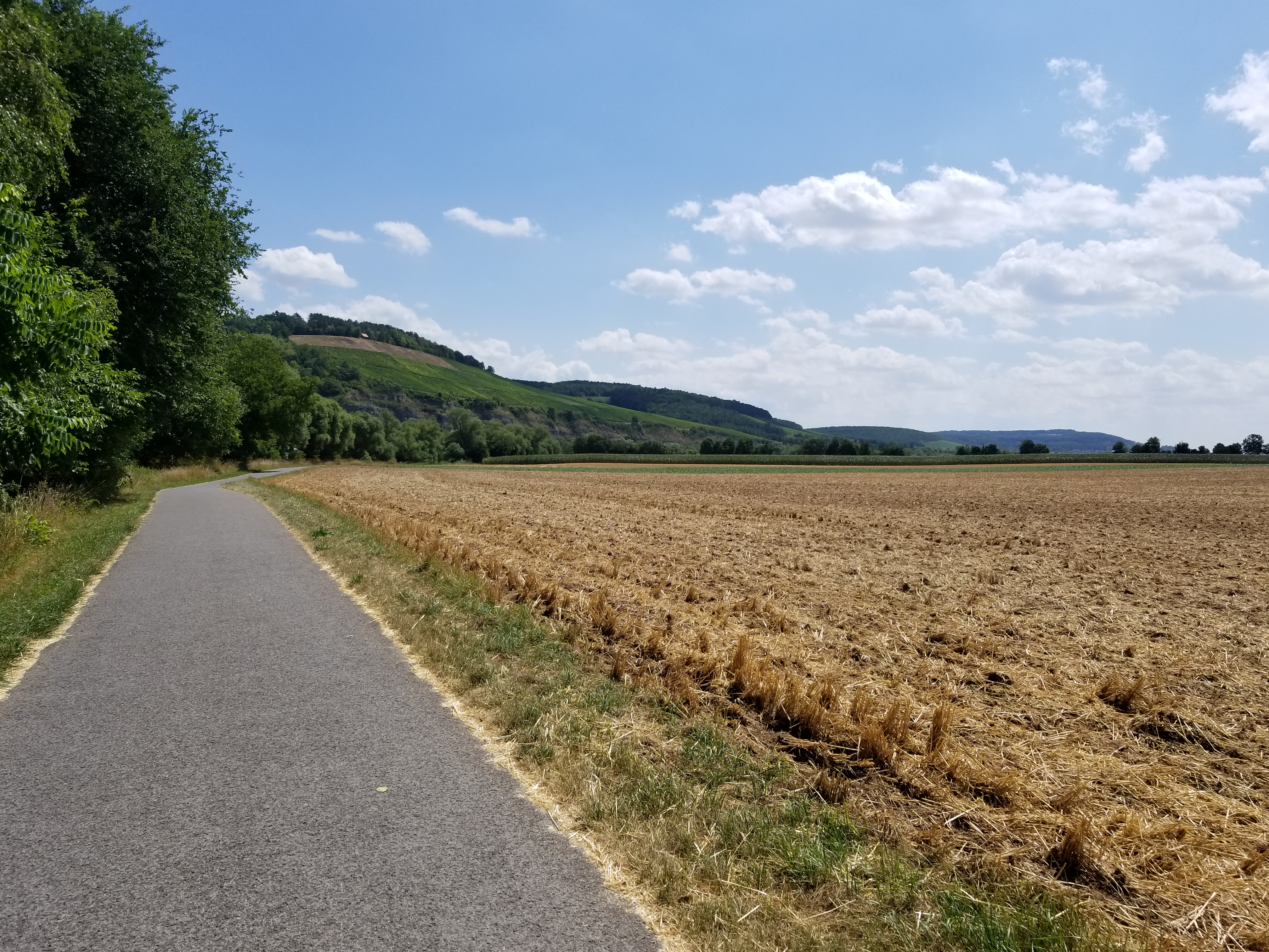
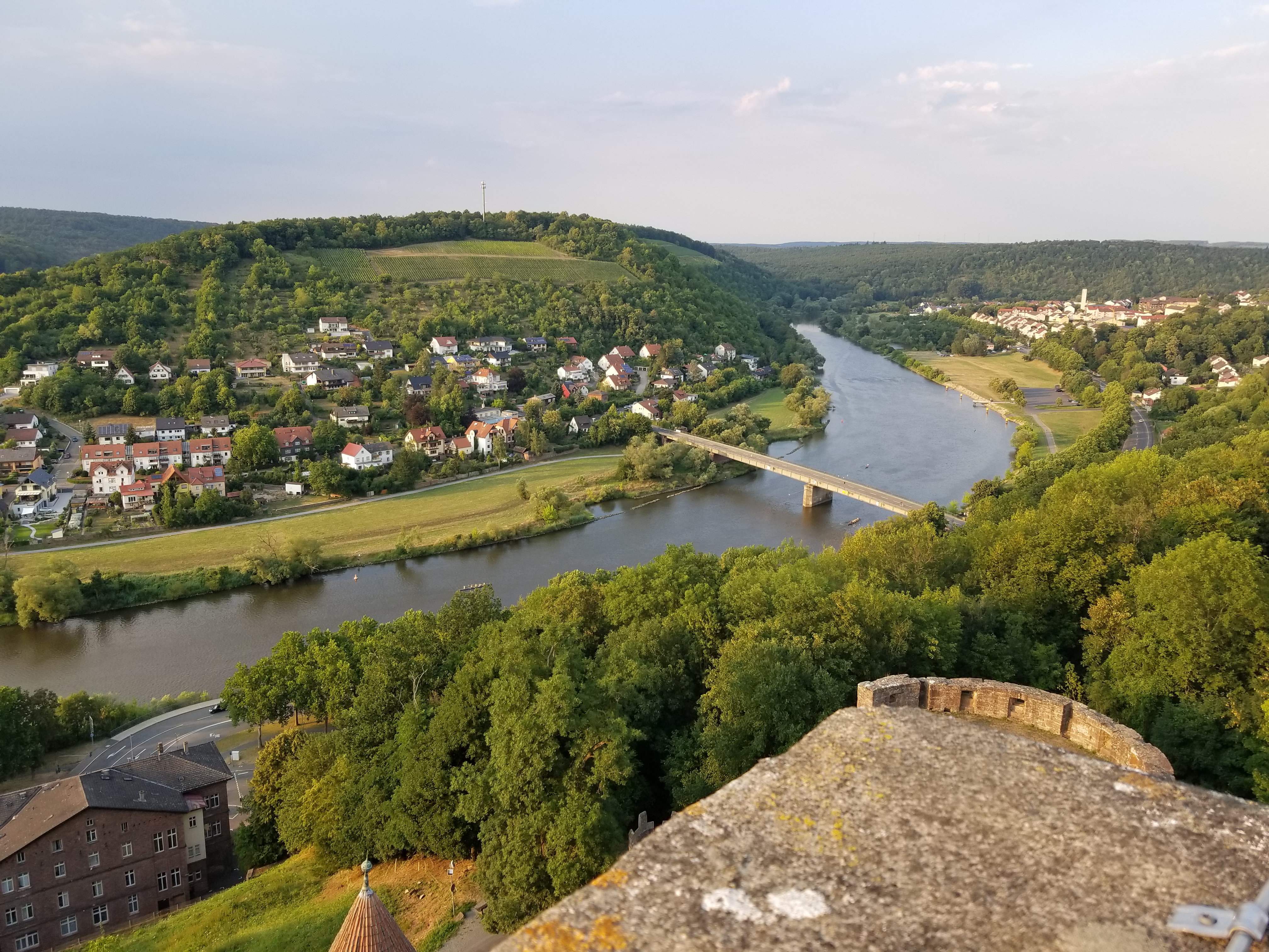
I'd been warned by German friends that July can be rainy, but this proved not to be: it was hot and sunny every day. Nearly the entire route is on paved bike paths near river banks, usually out of sight from vehicle traffic, with occasional sections of gravel or road. The hills are few, low, and of moderate grades.

The cable on my rear shifter broke, resulting in being stuck in one gear for the final four of six days (details below), but the gentle grades and mostly calm winds made it possible to continue with only a working front derailleur at a comfortable pace, allowing me to enjoy these beautiful German rivers.

total distance cycled: 672 km
total elevation gain: 1893 m
total time cycling: 27 hours, 37 minutes (over 6 days)
average speed: 24 km/h (the same as in 2016 and 2017)

photo: the enchanting village of Cochem on the Mosel river, in which I stopped for lunch on Day 3
Day 1: Dagstuhl to Trier
distance cycled: 84 km
elevation gain: 323 m
time cycling: 3 hours, 18 minutes
Strava
The workshop ended at noon on a Friday. After lunch, I started cycling west to join D-Route 5 on the Saar river in the town of Merzig, 30 km from Dagstuhl. The route on the west shore of the river between Dreisbach and Taben-Rodt is gravel. I would suggest crossing to the east shore at Keuchingen (or even earlier). The Saar flows into the Mosel in Konz, after which the route continues eastward (downstream) along the Mosel toward Trier. Trier is beautiful. The old centre of town is only a few hundred metres from the river. It was easy to find a nice and inexpensive hotel near restaurants. For those with fewer days available, I would suggest skipping the Saar river and starting the route in Trier.
photo: passing through Saarburg
Day 2: Trier to Zell
distance cycled: 112 km
elevation gain: 310 m
time cycling: 4 hours, 37 minutes
Strava
The riding today was spectacular, winding gently along the Mosel river between steep vineyards on either bank and passing through dozens of small villages. Highlights included the villages of Neumagen-Dhron, Wintrich (lunch stop), Traben-Trarbach, and Zell. I stopped in Zell for the night, where there was a wine festival: the streets were filled with long tables, with banners strung overhead, live music played, and plenty of good food and, of course, wine was everywhere. I worried about being able to sleep with the festive atmosphere (my hotel window faced the music only a few floors below), but the Germans were very courteous and the party wound down shortly after 11.
photo: riding through vineyards along the Mosel River near Köwerich
Day 3: Zell to Koblenz
distance cycled: 99 km
elevation gain: 373 m
time cycling: 4 hours, 14 minutes
Strava
Leaving Zell the route crosses the river. I attempted to shift gears heading onto a steep ramp up the bridge, and was confused as to why I remained in a high gear. I noticed an unusual amount of slack in the cable and investigated: the cable to my rear derailleur had broken. It was Sunday and, as anyone who has visited Germany can attest, nearly everything is closed on Sundays in Germany. I spent some time searching for a bike shop nearby (see details on German SIM cards below). Finding none that would be open, I decided to ride on. 8 km of riding confirmed that my knees could not handle an entire day, let alone four, in the highest gear. I spent the next half hour securing the shifter cable and adjusting the tension to lock in to a lower gear; I chose the fourth lowest gear. My front derailleur was still working, providing options for three types of terrain: uphill = small chainring, flat = large chainring, downhill = coasting. This worked surprisingly well, and I was able to continue another 90 km to Koblenz.
photo: A ferry crosses the Mosel river, providing access to the village of Beilstein and the nearby Burg Metternich.
The route continues through vineyards, passing beneath dozen of castles. Highlights included the villages of Beilstein, Cochem (lunch stop), Kobern-Gondorf, and the city of Koblenz. Cochem is particularly amazing, with its narrow winding lanes of shops beneath a fairy-tale castle overhead (see the top photo). Amazingly, I found a bike shop open near Cochem. The mechanic had a look at my shifter, but was unable to free the frayed broken end of cable stuck in it. I decided to ride on to Koblenz. Most of the castles are located on hilltops, overlooking the river valley. I decided to brave the lack of derailleur and climb to see the castle in Kobern-Gondorf before continuing to Koblenz. Koblenz was very nice; I enjoyed dinner on a terrace in the town centre after watching half of the world cup final over a weißbier and a slice of zitronenkuchen.
photo: The castle, Niederburg Kobern, overlooks the Mosel river valley and the village of Kobern-Gondorf.
Day 4: Koblenz to Frankfurt
distance cycled: 141 km
elevation gain: 314 m
time cycling: 5 hours, 55 minutes
Strava
In Koblenz I had the option of visiting a bike shop to attempt to fix my shifter for the three days of riding that remained. The bike shop didn't open until 10:00, it would likely require the better part of a day for repairs, if even possible, and I was ready to ride at 8:00. Given that riding the previous day went reasonably well, I decided to drop down one gear, to the third largest sprocket, and ride on. The Mosel flows into the Rhine in Koblenz. The route continues southward (upstream) along the Rhine, passing even more castles. The Main river flows into the Rhine river in the city of Mainz. The route continues eastward (upstream) along the Main. The terrain changes, going through wheat fields and flatter terrain. After a rest stop for orange juice near Mainz, I continued to Frankfurt, helped by a light tailwind.
photo: near the village of Boppard on the Rhine
Day 5: Frankfurt to Wertheim
distance cycled: 131 km
elevation gain: 294 m
time cycling: 5 hours, 19 minutes
Strava
The route along the western Main passes through forests, wheat fields, and corn fields, often out of sight of the river. There seemed to be more tree cover and shade along the Main than along the Mosel or Rhine. I stopped for lunch in Niedernberg and for ice cream in Freudenberg, before stopping for the evening in Wertheim, another charming traditional German village. After dinner I walked up the hill to visit Burg Wertheim (Wertheim Castle).
photo: The village of Wertheim seems to be a popular stop for cycle tourists (like myself).
Day 6: Wertheim to Würzburg
distance cycled: 102 km
elevation gain: 279 m
time cycling: 4 hours, 14 minutes
Strava
The route continued along a bend in the Main, first heading north, then east, then south to Würzburg. I would have liked to ride for another hour or two, but, in addition to being a pleasant town in which to stop for the evening, Würzburg provided a convenient train connection for my return trip to Frankfurt the next day. I celebrated my mid-afternoon end to the trip with weißbier and German candy, followed by my usual evening walk exploring the town with dinner on a terrace (and another weißbier).
photo: Burg Rothenfels, overlooking the village of Rothenfels on the Main River
Equipment and Logistics
Unlike last year, I did not reserve any hotels in advance due to the frequency and density of hotels along the route serving cycle tourists, and wanting to allow flexibility for the amount of cycling each day and the potential for stops at interesting sites along the way. On most days I found a room at the first hotel I tried, but on two occasions (in Zell and Würzburg) I had to try three hotels before finding a room (the hotels were within a minute's walking distance of each other). The price for hotels ranged from 60 € to 125 € per night, most of which included an extensive breakfast buffet. Some hotels have a bicycle storage room, but mostly I brought my bike to my room.

Related to bike storage, I brought a bike lock since I was travelling alone, which I used when entering stores, during lunch stops, or to lock my bike overnight in a hotel storage room. I purchased an Ottolock, which worked well. It fits in the rear pocket of a jersey and is light (175 g). It's not as secure as a u-lock, but provides a good compromise in terms of balancing light weight against preventing someone from easily running off with the bike.

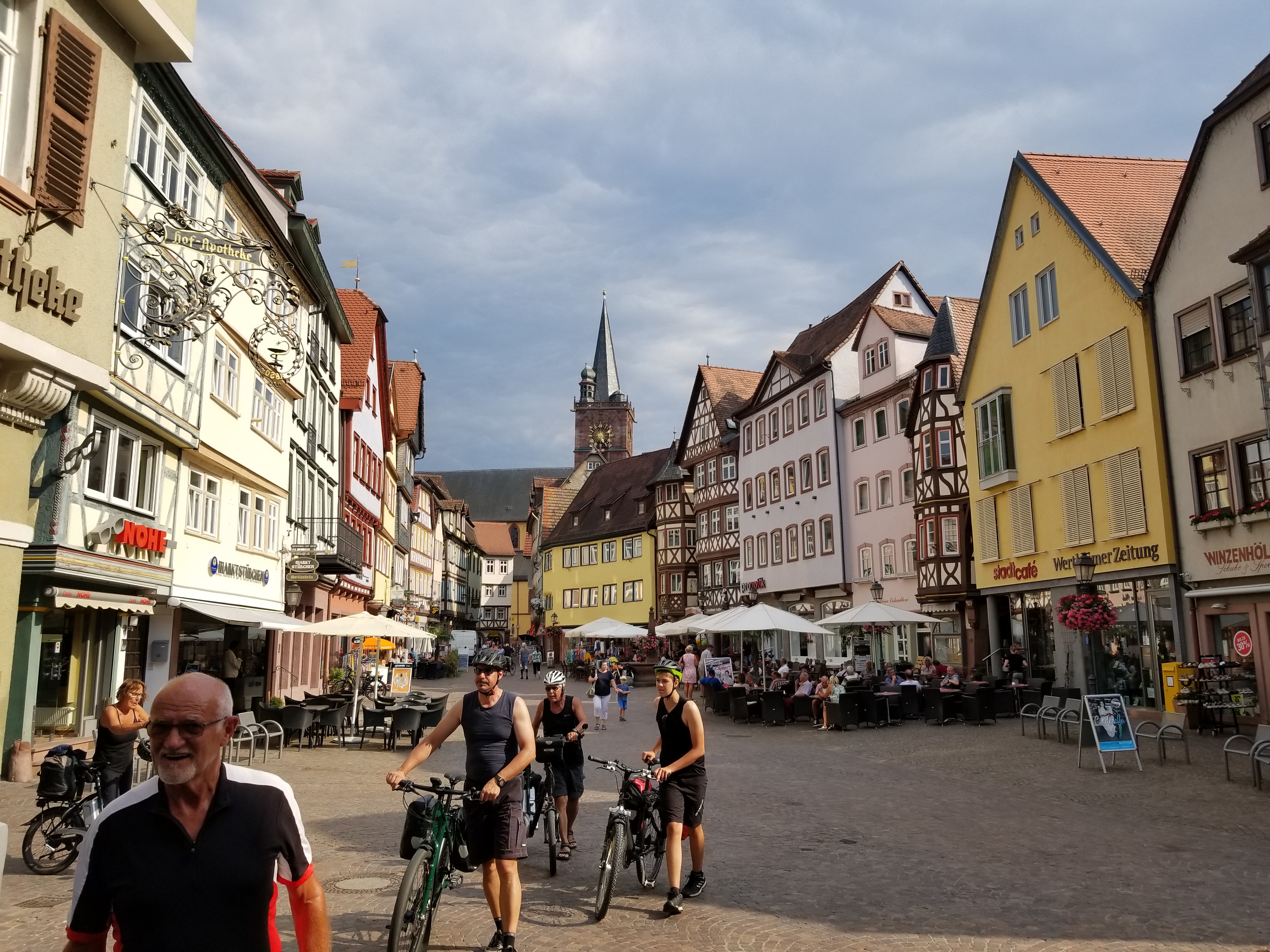
I don't typically ride with a bell on my road bike, but I purchased one on my third day. This route has hundreds of riders, many of whom ride side-by-side. The bell allowed for easy passing without requiring me to achieve an understandable pronunciation of "Entschuldigung, ich gehe auf der linken Seite vorbei", German for "excuse me, I'm passing on your left".

photo: riding through wheat fields near Karlstadt
I purchased a German SIM card for my cell phone. I chose the "expensive" large plan for 10 €, which provided unlimited calls and texts within Europe for one month, 10 GB of data (what I most needed), and 3 € of international texts and calls (which allowed me dozens of texts to Canada). I purchased the card from a supermarket (LIDL). Activating the card was not straightforward, requiring decyphering German instructions for setting up an account, queuing for an online video conference to confirm my identity, logging on to transfer credit onto the data plan, and then waiting for the account to be approved. The SIM card was definitely useful, but required perserverance to get it working without a permanent address in Germany. I would recommend purchasing a SIM card directly from a mobile provider instead. Also, these might provide between coverage; my reception was spotty in some villages, where I noticed others seemed to have good reception.

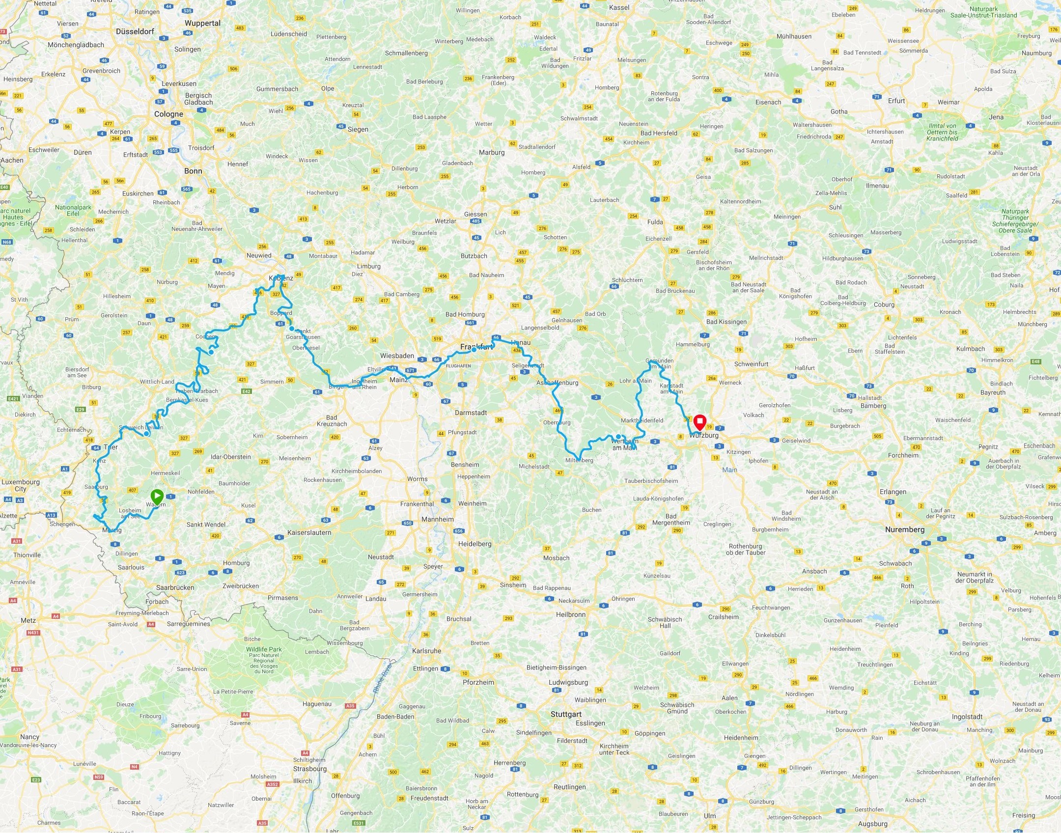
I primarily followed a course from a GPX track downloaded from the D-Route 5 site. That track is outdated, and the actual route deviates in many places, but it was usually easy to determine the correct route. The route alternates between shores, crossing the river across bridges multiple times each day. In many places it's possible to ride on either shore, but in others one side is better for cycling. Given the density of roads and cities in Germany, I wasn't able to fit the entire background map on my Garmin Edge 520 (which only has 110 MB memory). I prepared four maps using Open Street Map (see DC Rainmaker's instructions) which I loaded onto my cell phone and intended to transfer between days using a USB cable.

photo: the Main River and the town of Wertheim, as seen from Burg Wertheim
I tested this before the trip to transfer files between my phone and my Garmin; although it worked to transfer courses before the trip, I was unable to successfully transfer maps during my trip. I'll need to experiment with this further. After moving outside the region covered by the first map I used the Garmin to follow courses without a background map.

The remainder of my equipment was essentially identical to what I used in 2016, with the addition of flip flops for the evenings.

After completing the trip I took the train from Würzburg back to Frankfurt airport. I wanted to avoid multiple train transfers with my bike (often with only a few minutes between trains), so I ended my ride in Würzburg, a larger centre with good train connections. It's recommended to reserve a spot for a bike on the train at least one day before travel; I purchased my ticket in person at the Würzburg train station on the afternoon prior to my departure by train.

I had a friend take my bicycle case and a suitcase from Dagstuhl to a hotel at the Frankfurt airport. I'd confirmed with the hotel in advance that I could leave my luggage with them as I would be spending a night at the hotel before my flight home. This should be straightforward to coordinate if flying in and out of Frankfurt.

photo: a collage of selfies by the author, taken passing through various landscapes on Day 5
Return to Steph's Homepage