Okanagan Cycling Tour 2016
After attending CCCG in Vancouver and a visit to Matt and Zosia in Seattle, Chris, Reid, and I completed a five-day cycling tour of the Okanagan in south-central British Columbia on August 8-12, 2016, passing through the towns of Merritt, Kamloops, Vernon, West Kelowna, Summerland, Penticton, Keremeos, and Princeton before returning to Merritt.

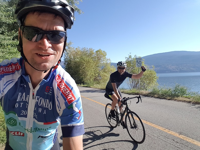
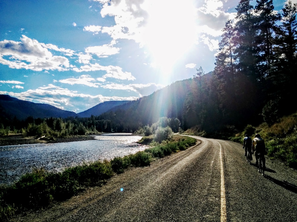
In choosing the route we attempted to follow low-traffic scenic paved secondary roads wherever possible. Our goal was to travel light. We rode road bikes with one saddle bag and one top-tube bag each (Chris also had small triangle frame bag). We stayed in hotels each night, except for Summerland, where we stayed with the Zajac family (thanks!).

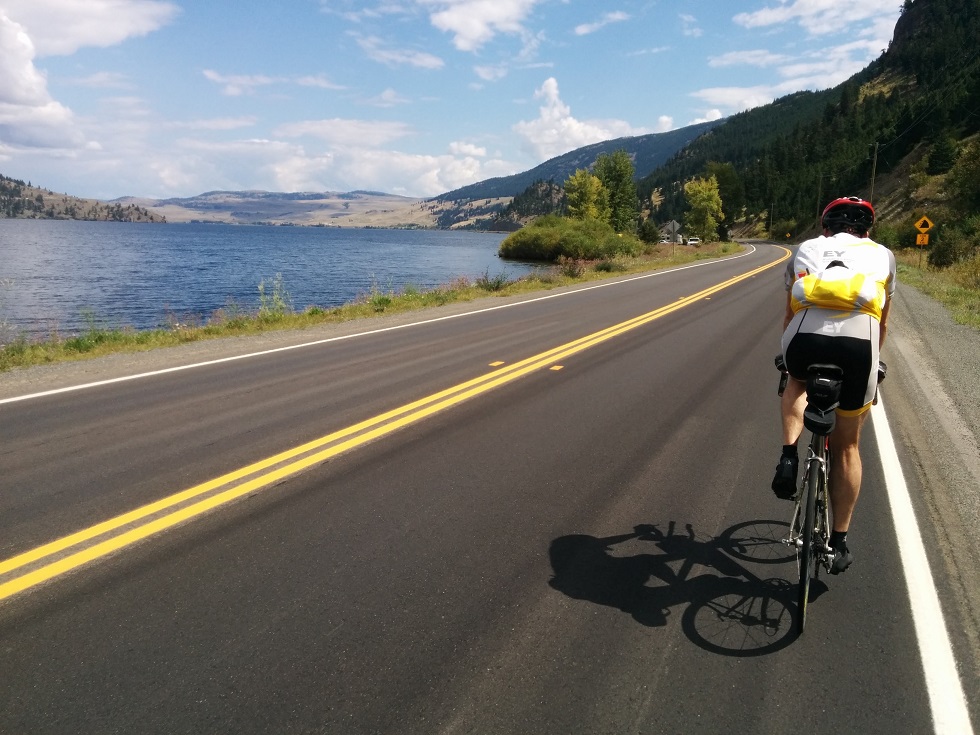
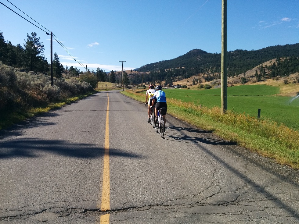
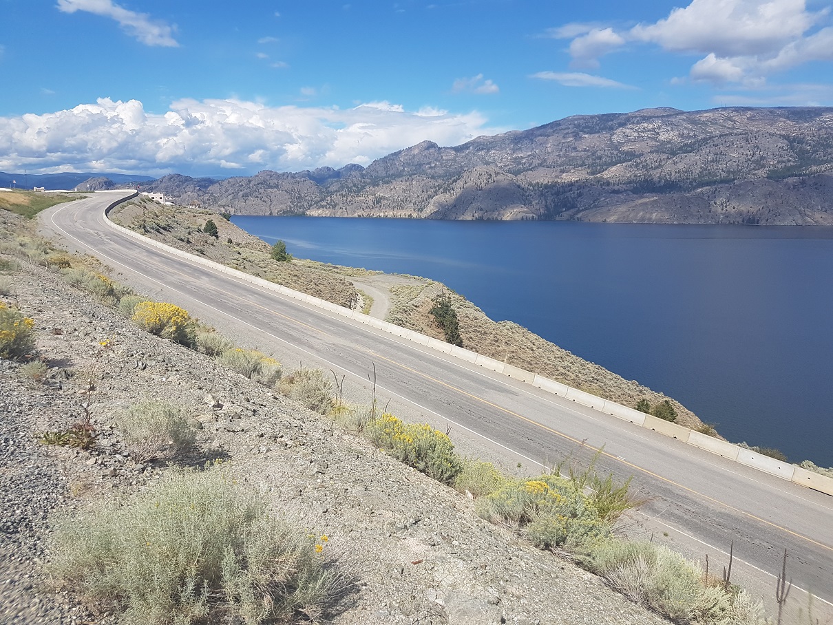
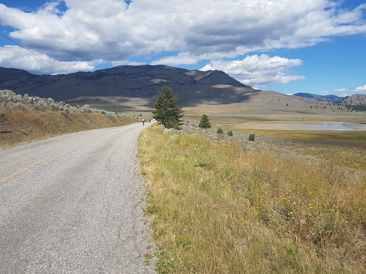
Highlights and recommended rides include Hwy 5A through the Nicola Valley from Merritt to Kamloops (which I cycled in 2006) Barnhartvale Rd east of Kamloops, Westside Rd on the hilly western shore of Okanagan Lake from west of Vernon to West Kelowna, Eastside Rd on the eastern shore of Skaha Lake from Penticton to Okanagan Falls, Green Lake Rd, WillowBrook Rd, and White Lake Rd from Okanagan Falls to Hwy 3A, and Old Hedley Rd from west of Hedley to Princeton.

We selected the Okanagan loop as a shorter and less hilly alternative to our original loop plan further west through Vancouver, Pemberton, Kamloops, Princeton, and Hope (although both routes share the 185 km length of Hwy 5A from Princeton to Kamloops).

total distance cycled: 594 km
total elevation gain: 5700 m
total time cycling: 24 hours, 40 minutes (over 5 days)
average speed: 24 km/h
See additional photos, a Retrace map, and a Strava route of our trip.

photo: With tailwinds, sunshine, zero traffic, smooth road surfaces, awesome views, good company, and a brewpub in the evening, it's no wonder these guys are smiling!
Day 1: Merritt to Kamloops
distance cycled: 94 km
elevation gain: 718 m
time cycling: 3 hours, 44 minutes
Strava
After driving from Vancouver and a delicious lunch at Kekuli Cafe in Merritt, we parked Chris' car at Walmart, and headed northeast on Hwy 5A through the Nicola Valley. The road follows the valley bottom along the shores of a series of lakes, before a steep 200 m climb starting ~75 km from Merritt. Following the climb is a 500 m descent into Kamloops. Being our first day, we made good time with few breaks. We ate at The Noble Pig and stayed at the The Plaza Hotel.
photo: Chris leading on the eastern shore of Nicola Lake (photo by Reid)
Day 2: Kamloops to Vernon
distance cycled: 117 km
elevation gain: 938 m
time cycling: 4 hours, 22 minutes
Strava
After losing over 500 m elevation dropping into Kamloops at the end of the previous afternoon, it was a relief to ride east out of town following the South Thompson, which did not require immediately climbing back up. Our hotel's location conveniently led us onto Valleyview Rd, allowing us to reach Barnhartvale Rd after less than 3 km on Hwy 1. Barnhartvale Rd was one of the highlights of the trip: it's scenic, passing through ranchland and farmland, and nearly free of traffic. After reaching Hwy 97, Reid set a fast pace, allowing us to cover distance quickly, with more downhill than up. We enjoyed lunch at the Ranch Cafe in Falkland. The afternoon included one broken chain (Reid) and one flat tire (Steph), both of which were straightforward roadside repairs. We stopped by Olympia Cycle & Ski in Vernon to replenish supplies of spare tubes, chain links, and energy gels. We had dinner at our home for the evening, the Vernon Atrium Hotel.
photo: Chris and Steph on Barnhartvale Rd (photo by Reid)
Day 3: Vernon to Summerland
distance cycled: 126 km
elevation gain: 1636 m
time cycling: 5 hours, 43 minutes
Strava
Given my slower speed relative to Chris and Reid, I left the hotel first in the morning. Our day began by backtracking 13 km north on Old Kamloops Rd along the western shore of Swan Lake to Westside Rd. Reid and Chris caught me after 50 km as we stopped for a rest at La Casa. Westside Rd was another highlight of the trip. The terrain is rolling, with several steep but short climbs, and frequent views from high above Okanagan Lake. Upon reaching Hwy 97 we continued south along Boucherie Rd and north on Gellatly Rd, passing several wineries on the way, before stopping for lunch in West Kelowna. From here we followed Hwy 97 south into Summerland, where we had the pleasure of staying with the Zajac family who treated us to a swim in Okanagan Lake, a delicious dinner, showers, beer, laundry, and comfy beds. Thank you!
photo: Okanagan Lake
Day 4: Summerland to Princeton
distance cycled: 158 km
elevation gain: 1473 m
time cycling: 6 hours, 47 minutes
Strava
This was our longest day of the trip, but scenic and rewarding. We started with a fast flat ride south into Penticton along the western shore of Okanagan Lake and then onto Eastside Rd along the eastern shore of Skaha Lake. After a break in Okanagan Falls to stock up on food and water, we started climbing along Green Lake Rd, Willowbrook Rd, and finally White Lake Rd. This route is highly recommended. The elevation gain (500 m) is necessary to reach the pass on Hwy 3A regardless of the route. The route is breathtaking, sees little traffic, and follows a well paved road over open rolling hills (flatlanders like me might call these moutains). The climbing starts with steep grades initially, but eases quickly, and the pass was easier to summit than feared. Chris got a flat, which persisted and required occasional pumping throughout the day until he was able to find and extract the guilty metal splinter later that evening.
photo: climbing into the hills along Willowbrook Rd
After reaching Hwy 3A we descended quickly before stopping for a late lunch at Tree to Me café. We avoided Keremeos via the bypass, and started the gradual climb along Hwy 3A toward Princeton. The valley bottom was hot (34C in the afternoon) and I was getting desperate for a break by the time we reached Hedley. West of Hedley we followed the scenic Old Hedley Rd (also recommended), across the Similkameen River from Hwy 3A, the rest of the way to Princeton. After a stop at the supermarket in Princeton we continued up the hill to the Sandman Inn.
photo: Steph and Chris riding in the late afternoon sun along Old Hedley Rd (photo by Reid)
Day 5: Princeton to Merritt
distance cycled: 97 km
elevation gain: 935 m
time cycling: 4 hours, 2 minutes
Strava
On our final day we followed Hwy 5A north to its junction with 97C, and onward toward Merritt. The riding was pleasant, passing multiple small lakes and climbing gradually to a highpoint of 1100 m. The final descent into Merritt is long (10 km) and steep (6%) for a low-effort end to the ride, although not stress free, with fingers alert and tightly gripping brake levers as 18-wheelers fly past down the hill (there is a wide paved shoulder so it's not so bad). After reaching the car we had lunch at Kukeli Cafe again, before returning to Vancouver (meeting Laura to jettison Reid on the Coquihalla) to celebrate with a proper conclusion of beer + poutine at Biercraft at UBC.

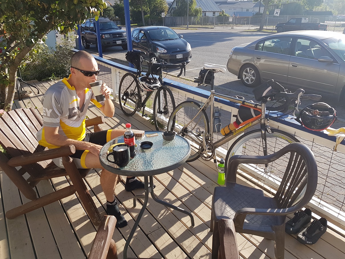
Thanks to Chris and Reid for a fantastic week on the bikes! Your patience with my slower pace allowed me to avoid knee injury and complete the route.

photo: breakfast at Cowboy Coffee in Princeton
Equipment and Logistics
Other than our final night in Princeton, we had no difficulty finding hotel accommodation after arriving in town each evening. We were warned by Andrea that hotels in Princeton were sparse due to a race taking place there; after calling a few hotels before leaving Summerland that morning, we were able to reserve one of the last hotel rooms in Princeton.

The daily average distance of 120 km worked well, with shorter days to accommodate travel to and from Vancouver on our first and last days. Except for the first and last days which didn't pass through any towns, we had multiple options for lunch stops each day. On some of the longer segments without food or water stops we carried an extra bottle in a jersey pocket.

Packing light was key. Fully packed, my saddle bag and top-tube bag weighed 2.5 kg (this doesn't include items on the bike frame).

Gear on bike frame

  • Garmin Edge 520 GPS bike computer
  • bike pump with pressure gauge, presta/schrader adapter
  • 2 water bottles
  • front and rear blinking lights
photo: my bike fully loaded on day 2
Individual gear in packs
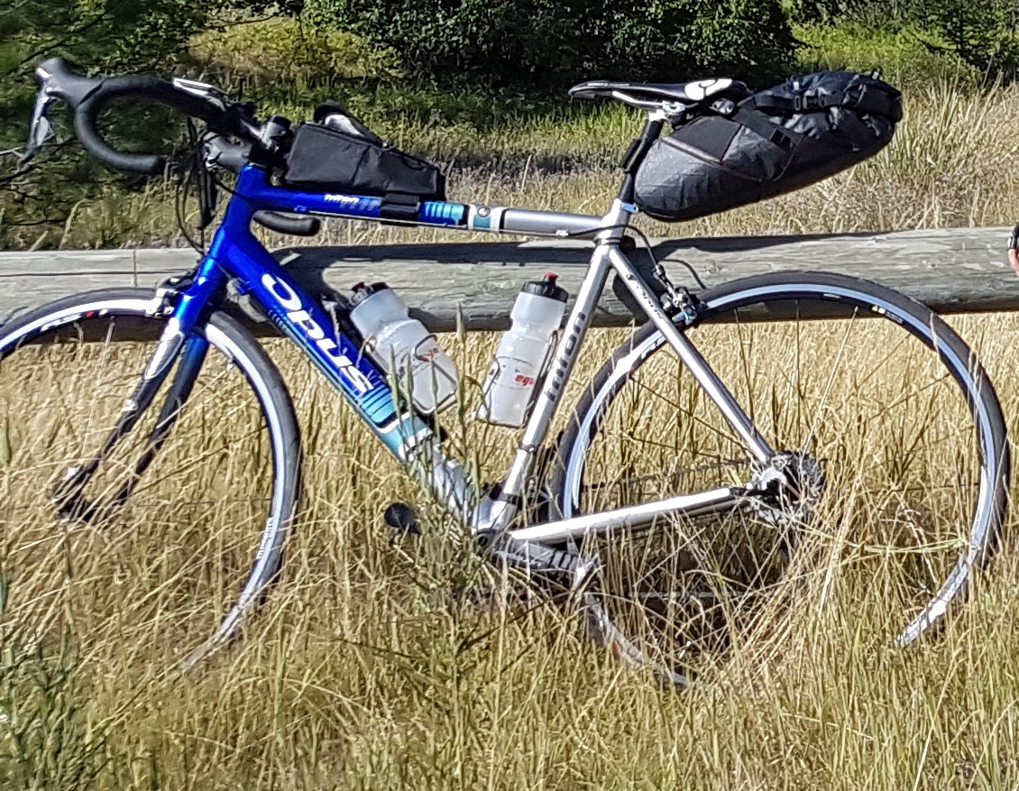
  • Relevate Designs Pika saddle bag, 358 g, 6-12 L
  • Relevate Designs Gas Tank top-tube/cockpit bag, 100 g, 1.1-1.3 L
  • change of cycling clothes
  • long-sleeve thermal shirt
  • light cycling rain jacket
  • post-ride clothes
  • cell phone, USB charger
  • toothbrush
  • ibuprofen
  • energy gels
  • electrolyte tablets
  • spare tube
  • credit card, id, health card, etc.
Group gear distributed in packs
  • tools: tire levers, multitool with chain tool, tube patches, tire boot, extra chain quick links, chain oil
  • sunscreen
  • toothpaste
Return to Steph's Homepage