|
|
||
 |
 |
|
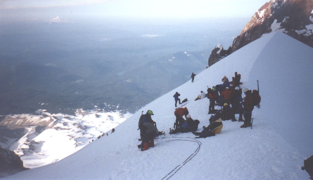
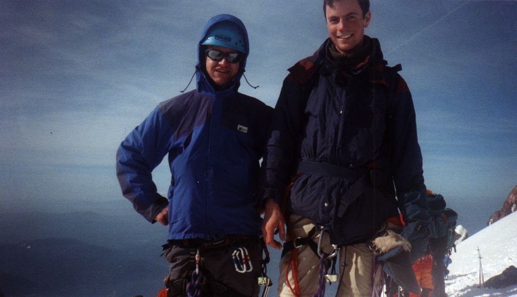
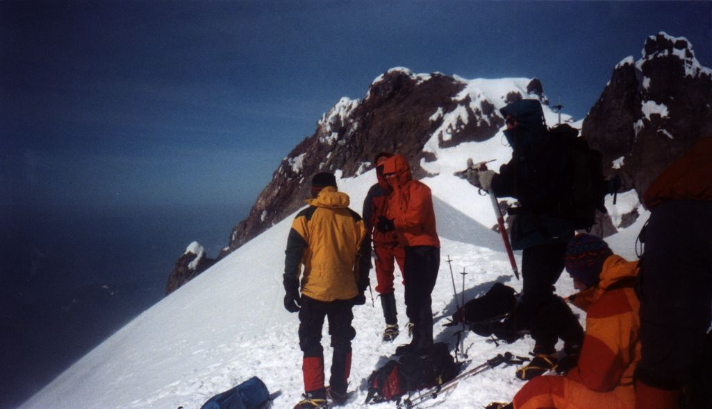
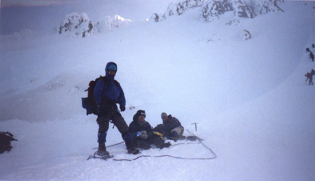
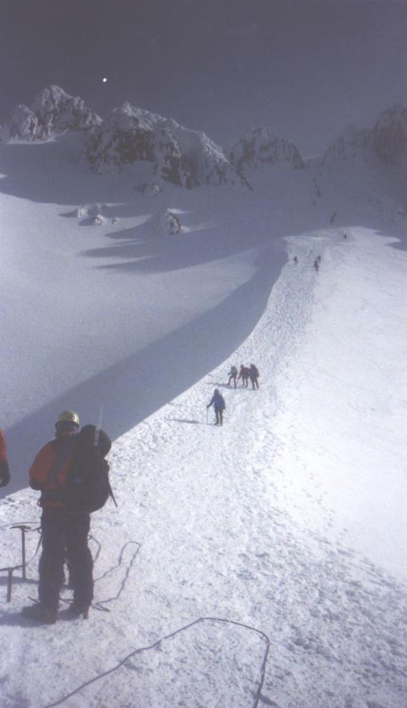
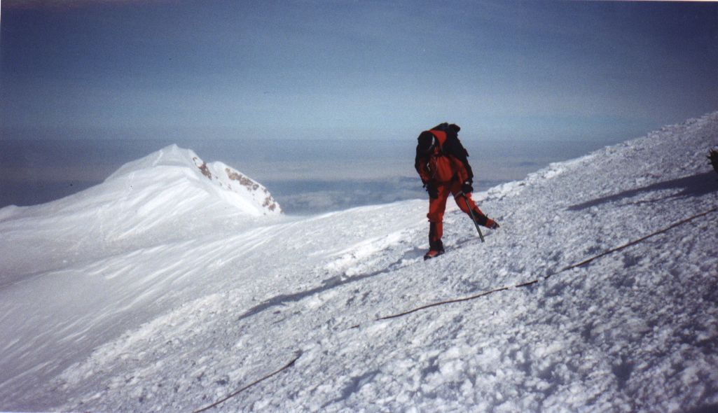
| Mt. Hood is a popular single-day summit located near the Columbia River gorge, about 100 km east of Portland, Oregon. At 3425 m, it is the highest peak in Oregon. Our group of three, consisting of Matt Brown, Joerg Zimmermann, and I, summited at 8:00 am on May 19, 2001. Conditions were sunny, but extremely windy (measured at over 70 mph on the mountain). Powder from storms earlier during the week had blown away and melted into hard-packed icy snow. Check out Matt's Hood photos. | ||
 |
 |
|
| May 18 - Drive from
Vancouver to Timberline Lodge (650 km). Sleep in parking lot (1820 m).
May 19 - Wake at 1 am. Ascend to summit via Hogsback route at 8 am (3425 m). Descend to parking lot at 10:30 am. Camp at Viento State Park. May 20 - Climbing rock at Horsethief. Drive back to Vancouver |
||
 |
 |
 |
 |
 |
|
| Selected
Climbs in the Cascades. Jim Nelson and Peter Potterfield. Mountaineers
Books, 1993.
Mt. Hood Climbing Route card MH-1, MH-2. Kurt Nelson. 1983. Mt. Hood Climbing Conditions website. USDA Forest Service. | ||
 |
 |
|
| Mount Hood Wilderness
Map. Geo-Graphics. 1:30,000.
Mt. Hood / Columbia Gorge Recreation Map. 1:125,000. Mt. Hood, OR - NO 462. Green Trail Inc. 1:69,500. |
||
