|
| |
|
Trip Summary
On July 3, Mike Cline and I headed up the south ridge of Mount Larrabee near the town of Glacier, Washington, north of Mount Baker and just a few kilometres south of the Canada-US border. The approach trail is truly spectacular with an awesome panorama of dozens of summits to the northeast including Slesse, Rexford, and the Nesakwatch Spires. Indeed, this route is worth doing for the approach alone. The scrambling on the south ridge is fun but, although unexposed, the rock is loose for extended stretches. Two weeks earlier, Dan and I had observed Mount Larrabee from the summit of Tomyhoi Peak. See Mike's trip report of our day on Larrabee. | |
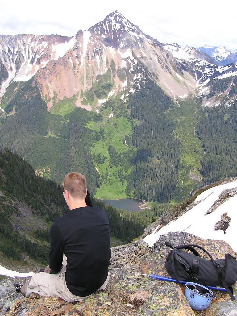
 hiking in high above the valley |
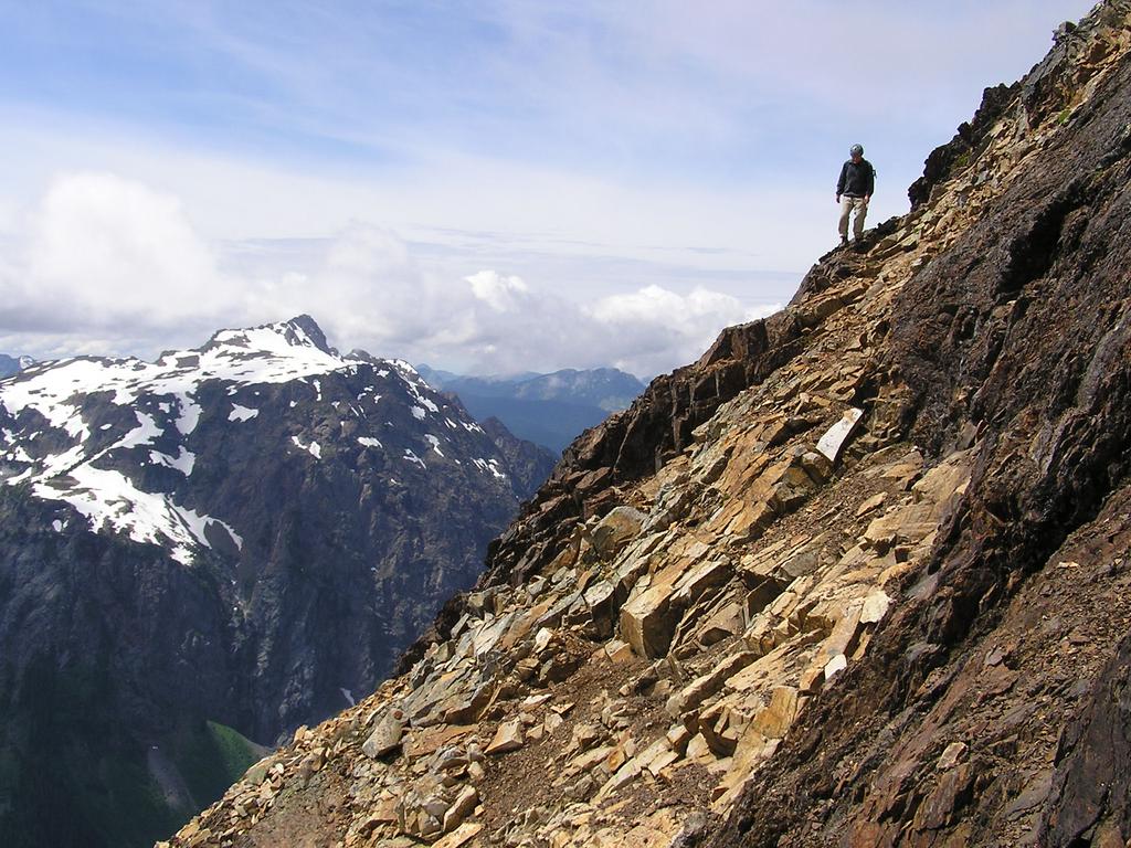 Mike crosses loose rock just above the gully on the descent of the south ridge. To the left is Tomyhoi Peak. |
|
Details
We left Vancouver at 6:00 am and were hiking at 8:15 am from the Yellow Aster Butte trailhead [1097 m]. We reached Twin Lakes [1585 m] at 9:15 am and the summit [2396 m] at 12:30 pm. We enjoyed the hike back down and returned to the car at 5:00 pm. Although the sun shone for much of the day, the half hour we spent on the summit was spent hiding in a cloud. As is typical, fifteen minutes after we began our descent, nothing but clear blue sky surrounded the summit. | |
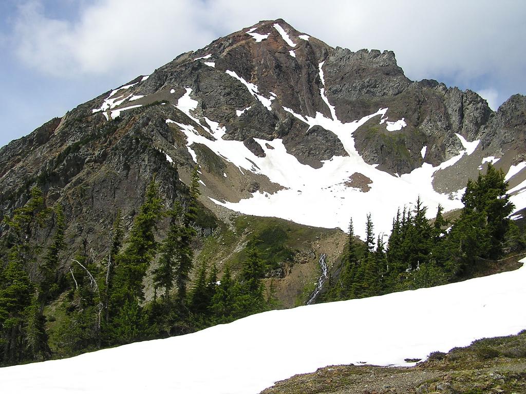 Larrabee as seen from near High Pass |
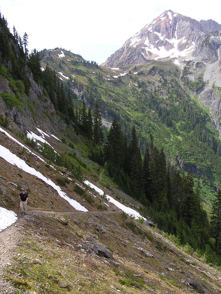 Mike hiking out with Larrabee in the distance |
|
Reference Scrambles in Southwest British Columbia. Matt Gunn. Cairn Publishing. 2005. | |
