|
| |
|
Trip Summary
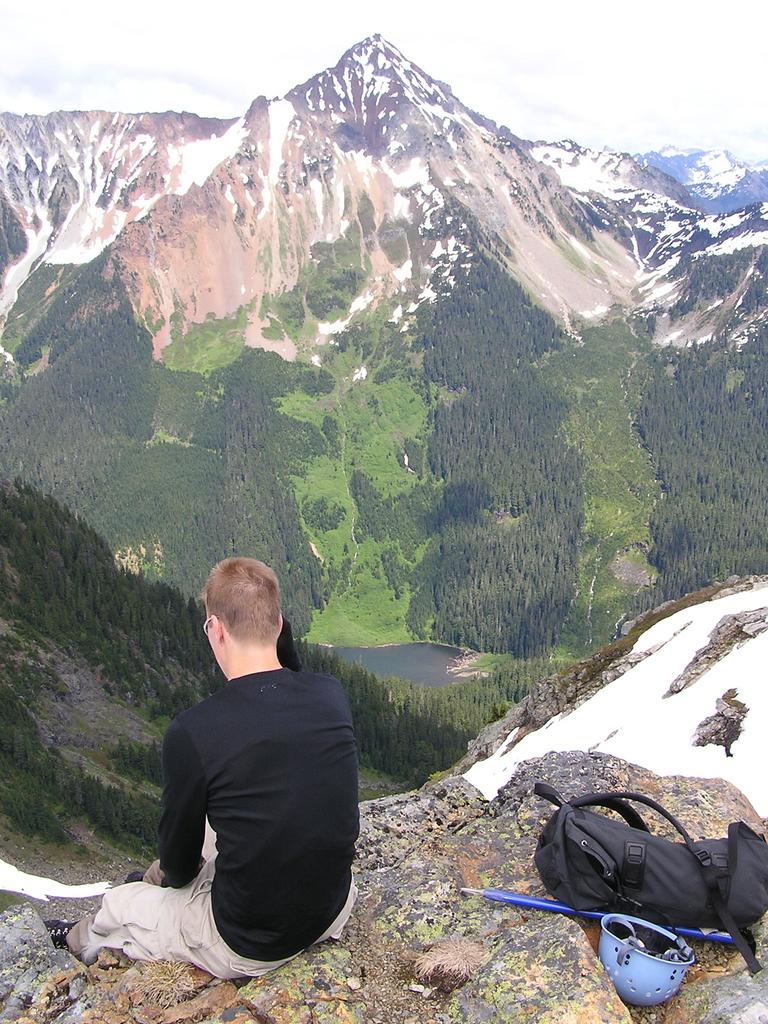
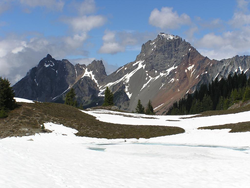
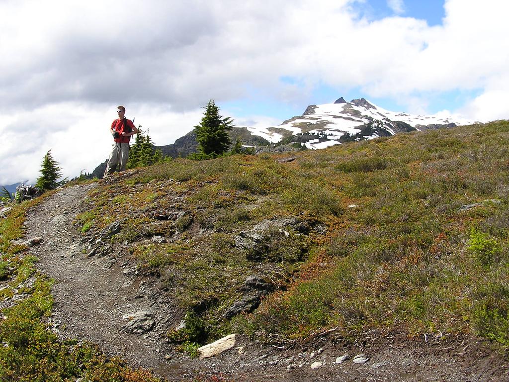
On Sunday June 19, 2005, Dan and I scrambled the southeast ridge of Tomyhoi Peak [2266m]. This route is easily daytripped from Vancouver. The clouds only allowed us brief views of the surprisingly rugged surroundings. Nearby peaks we could identify included Canadian Border Peak, American Border Peak, Larrabee, Shuksan, Baker, Rexford, and Slesse (not completely certain about the last two). The approach involves a few hours of hiking on a pleasant trail that contours a valley, passes several icy tarns, and eventually reaches a moderate scree slope below the southeast ridge. The ridge is excellent third-class scrambling, solid on top, low on exposure, but somewhat loose on the west side of the ridge, to which one is forced in a few places. See Dan's photos of our day on Tomyhoi. Here is a photo of Tomyhoi taken two weeks later during the ascent of Larrabee. | |
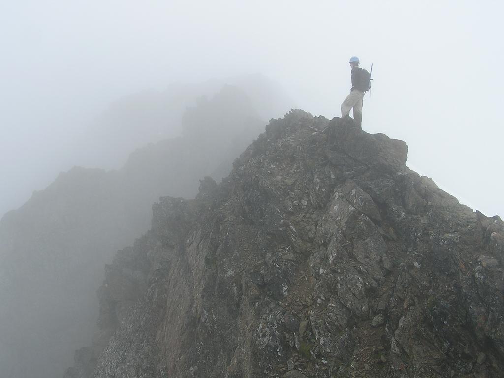 Dan heads along the foggy southeast ridge. |
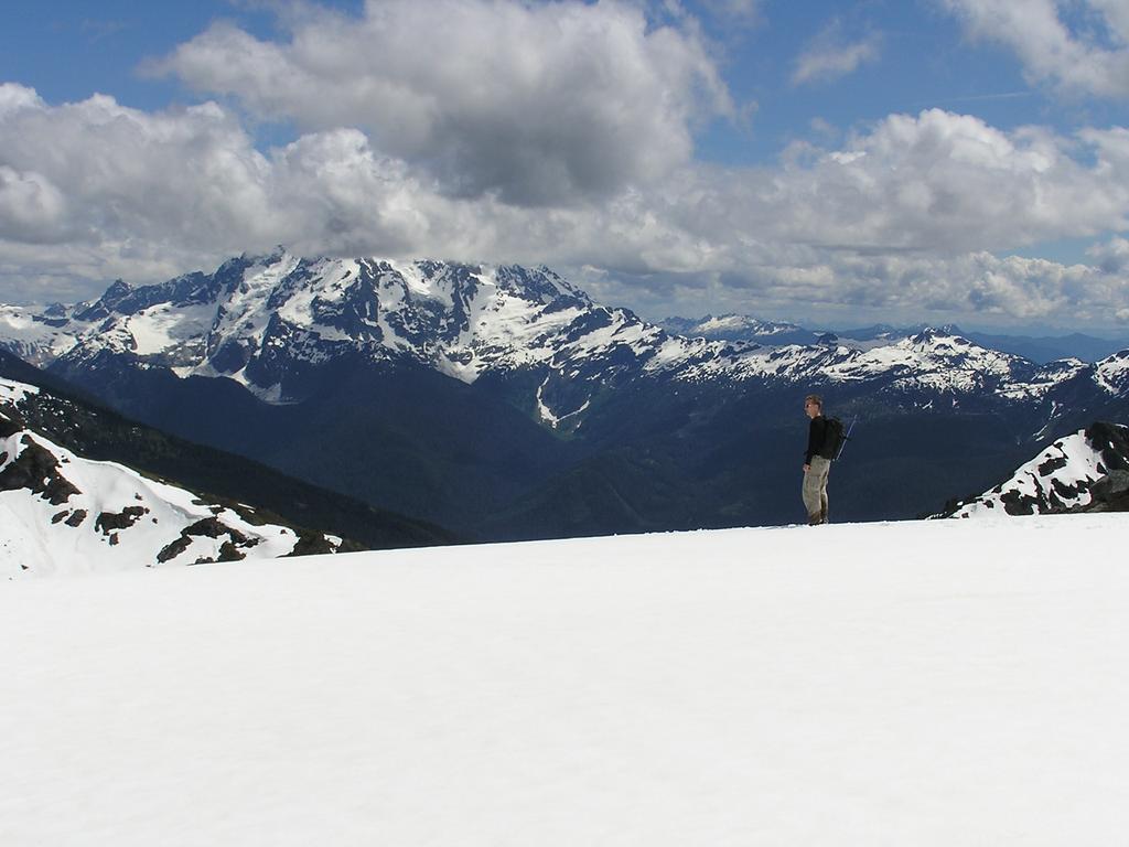 Shuksan's summit remained hidden all day. |
|
Details
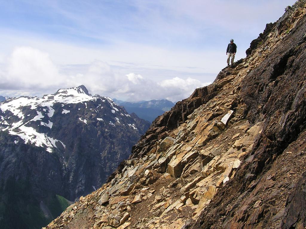
We left Vancouver at 6:00 am, parked the car at 8:00 am [1097 m], and we were hiking ten minutes later. We reached the tarns just after 10:00 am. After hiking over a few snow and scree hills, we reached the ridge which provides splendid scrambling: fun third-class rock with low exposure. Fog obstructed our route most of the way up. We reached the summit at 12:30 pm [2266 m] for lunch and photos. The clouds lifted on our descent. We could see peaks to the north: Mount Larrabee, American Border Peak, and Canadian Border Peak. Of interest, logging roads climb surprisingly high on the southwest slopes of Larrabee, under the American Border-Larrabee col. Our views of Shuksan and Baker were limited to within a few hundred metres of their summits. The hike out was quick and we were back at the car at 4:30 pm. | |
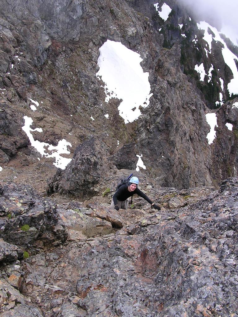 Dan scrambles the final 50m below the summit. |
 Mount Larrabee looks inviting. The ridge to the northwest (left) of Larrabee is the American Border-Larrabee col. |
|
Reference Scrambles in Southwest British Columbia. Matt Gunn. Cairn Publishing. 2005. | |
 Canadian Border Peak (left) and American Border Peak (right) |
 one final view of Tomyhoi before turning the shoulder on the hike out |
