|
| |
|
Trip Summary
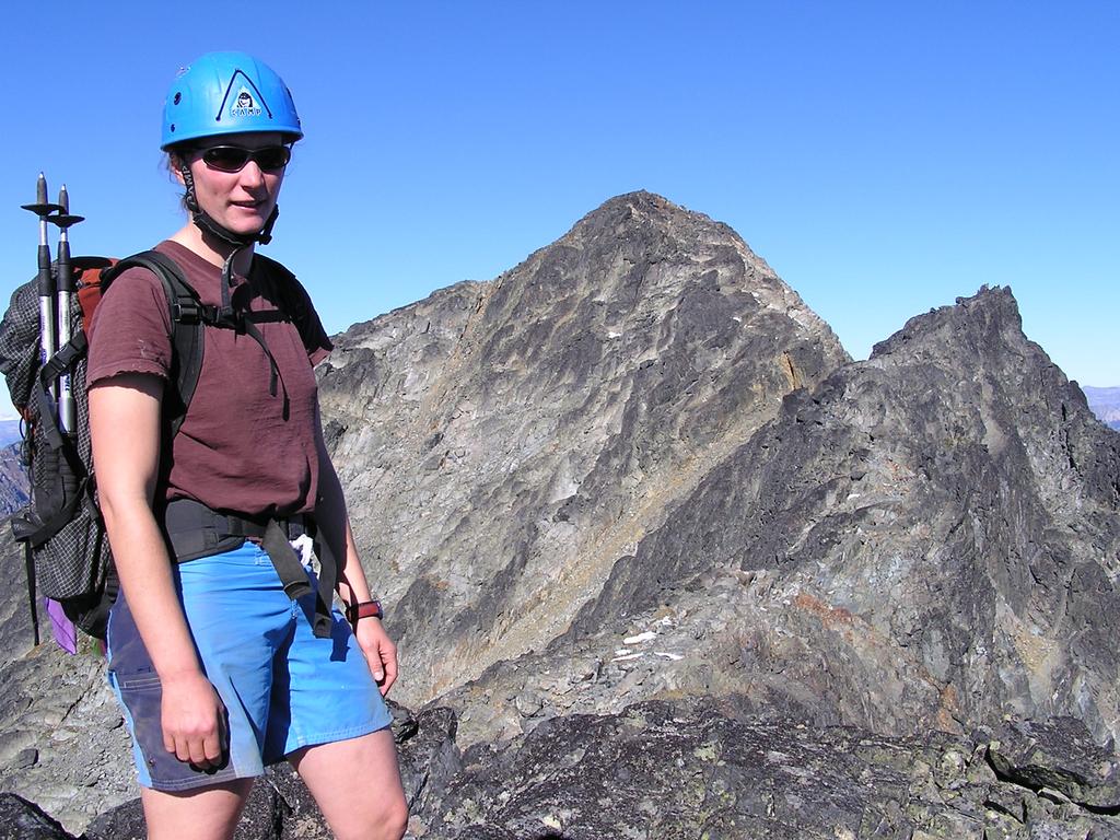
On Saturday October 2nd, 2004, Verena Blasy and I scrambled the south ridge of Mount Cayoosh [2561m]. Unlike nearby Mount Marriott, the rock on Cayoosh is very loose. After the approach, much of the route is spent walking (scrambling, sliding, swimming) through loose rock along low-angled second or third-class terrain without much exposure. The final summit ridge is quite enjoyable and the views make the loose rock worth the trip. Here's a photo showing Cayoosh taken from the summit of Marriott. | |
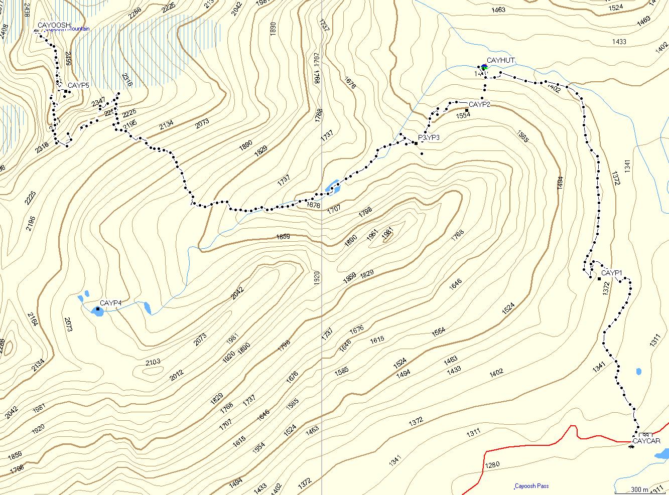 See our GPS tracks [MapSource + Garmin Legend]. The correct route continues southwest to waypoint CAYP4 before heading north. |
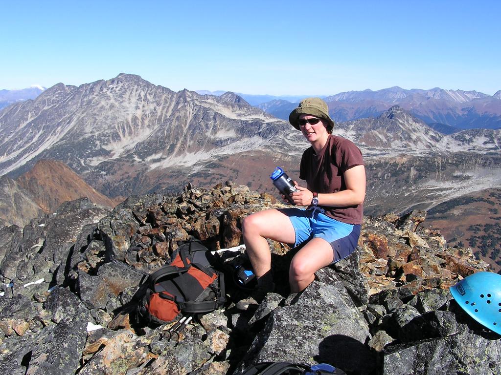
 After scrambling up the loose south face, we followed this awesome ridge over a series of false summits to the true summit. |
|
Details
After saying hello to our friends at Busterino's Pizza in Pemberton on Friday evening, Vern and I drove up Duffey Lake Road, parked at the weather station [1280 m], and hiked 40 minutes along the logging road to the Cayoosh Hut [1450 m] under moonlight. This hut is fantastic: comfy foam and carpet in the loft, bottles of whiskey for the guests, a nice recycled ski bench, dozens of tea lights, and some excellent artwork on the roof. After a 6:00 am wake-up, we were off by 6:45 and made our way into the talus fields and up to the small lake. We should have continued west along the bottom of the basin longer before turning north to Cayoosh. Instead, we headed straight for the western crest of the east ridge where we found ourselves off route, at the edge of the glacier. Fearing we might have to descend most of the way back to the basin, we were pleased when a quick traverse west across the scree got us back on route. The south face is broken by several gullies, each filled with (extremely) loose rock. We alternated between scrambling through loose rock on mellow terrain and heading up more solid but steeper rock along the sides of the gullies. Upon reaching the false summit, the ridge to the summit provides an easy and enjoyable scramble to the top [2561 m] which we reached at 12:15 pm. The descent was quick; we boot skied, plunged stepped, and surfed our way down loose rock to the basin and then boulder-hopped back to the hut. Upon leaving the hut, we somehow ended up following a different logging road back to the highway which emerged almost 1 km west of the car which we reached at 5:30 pm. | |
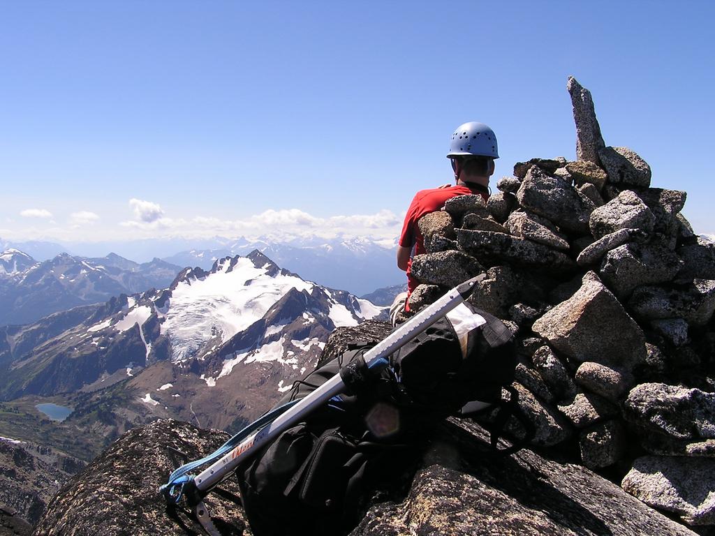
 Vern on the summit with Marriott in the background |
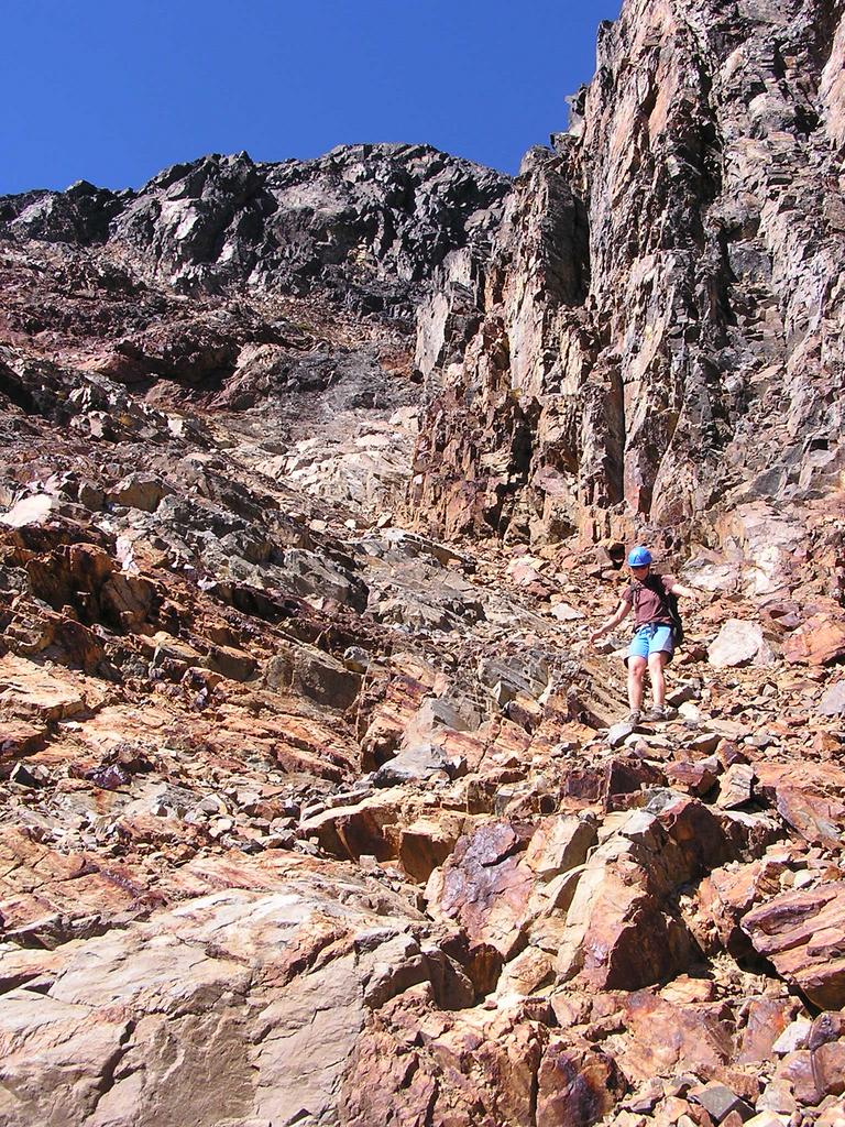 Vern makes her way down the loose rock of the south face. |
|
Reference Canada NTS 92 J/7 Pemberton 1:50,000. Canada NTS 92 J/8 Duffey Lake 1:50,000. Scrambles in Southwest British Columbia. Matt Gunn. Cairn Publishing. 2005. | |
