|
| ||
|
Trip Summary
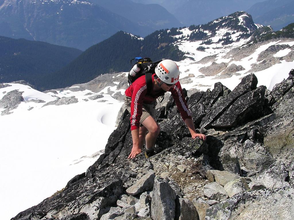
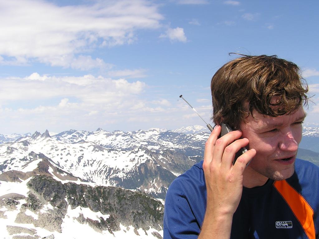
Not the familiar Cypress on the north shore known to skiers, snowshoers, hikers, and Vancouverites in general, but Cypress Peak near Tricouni Peak, north of Squamish, was our destination on June 23, 2004. Cypress Peak (elevation 2083m) provides a quick daytrip scramble that requires neither an early start nor a late return. Our mellow pace only took 7 hours car to car, including an extra hour riding bikes uphill. Reid and I had a great moderate day on easy terrain up the north ridge of Cypress with great summit views of the region from Wedge, Weart, and Currie, to Garibaldi, to Serratus, Alpha, and Tantalus, to a whole slew of unfamiliar peaks to the northeast. See Reid's photos and topo map. | |
|
Overview
As I say, this was a mellow day. We left Reid's place at 7:30 am, stopped at the supermarket in Squamish, and made our way to the 6 km mark along the Chance Creek FSR to just past the bridge at 10:00 am. From here we rode our bikes 5 km to near the end of the road which we reached at 11:00 am. The route begins with a quick descent to Roe Creek (requiring creative ideas to cross while staying dry) followed by a talus / snow climb to below the north ridge of Cypress. We climbed the snow to the ridge and scrambled nice rock to the summit at 2:30 pm. After thirty minutes of photos, food, and cell phones (we're tourists after all) we made the most of the snow and boot-skied almost 800m down to the creek. We were back at the car at 5:00 and shortly afterwards at 7-11 in Squamish for $2.22 hotdogs.
Reference
|
|
|

|

|
|
