|
|
||
 |
 |
|
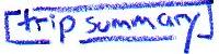
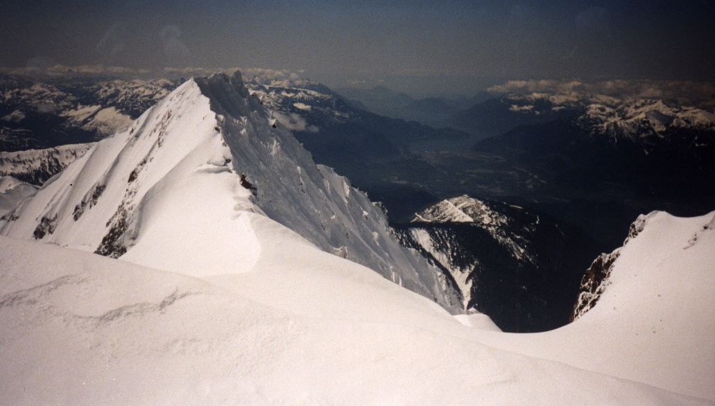
| Mount Garibaldi is a familiar and prominent peak that stands just northeast of Squamish. It is located in the southwestern corner of Garibaldi Provincial Park, which takes its name from the peak. Jason Clifford and I climbed Garibaldi on May 12, 2002. For me, this excursion provided closure to a series of visits to the peak and its surroundings. In September 1998, Dave Currie and I negotiated an extremely dry Warren Glacier but were turned back by a seemingly impassable wall of ice below the north face (as well as inexperience in alpine route-finding at the time). In April 1999, James Grant and I skied the Garibaldi Neve traverse which leads to the base of the northeast face. In March 2002 and again in April 2002, Aaron Barsky and I visited the Garibaldi Neve on skis, to be turned back at first by a cliff (and general laziness at the long ski required to round the cliff) and then by blizzard and dense fog. Thus, finally, on this latest visit, the weather worked in our favour allowing Jason and I to reach the summit at 11:30 am. | ||
 |
 |
|
|
May 11 - Drive Vancouver to Squamish (65 km). Drive up Brohm Ridge forest
services road (we were able to drive to 890m elevation before the snow got
too deep).
Hike/ski to Brohm Ridge and follow it northward to 1800m (10 to 15 km).
Camp either on the ridge (or on the Warren Glacier in summer).
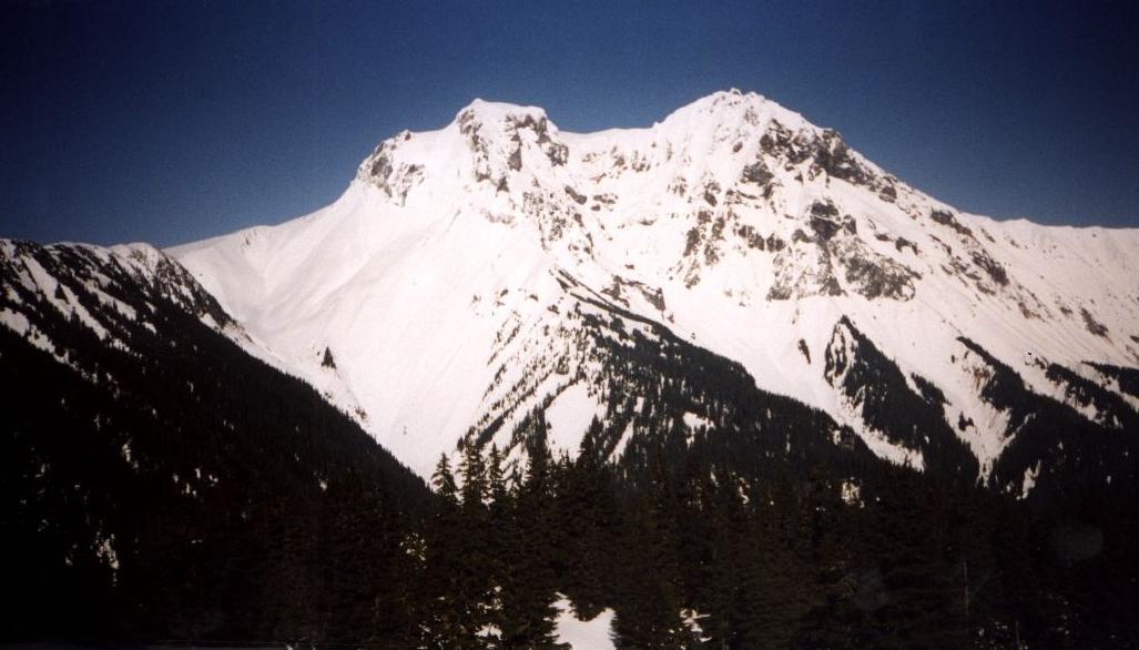
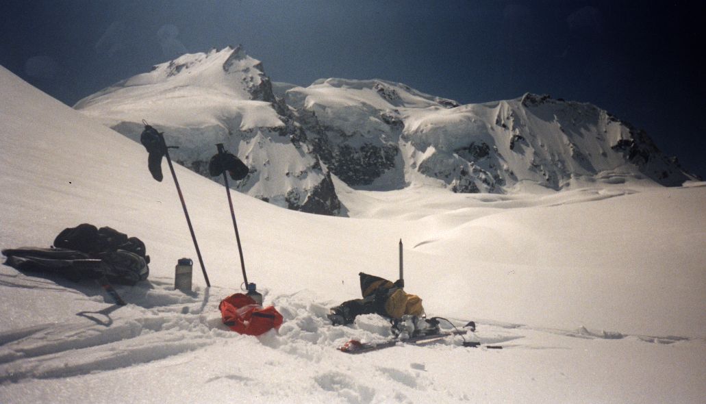
May 12 - Leave camp at 6:00 am. Ski up the Warren Glacier (2100m) and cross it towards the northeast onto the Neve. Climb/ski to the northeast face of Garibaldi. Go either left or right of the bergschrund (we went right). Climb the face to the summit (2678m) at 11:30 am. Descend back to camp and return to car. |
||
 |
 |
|
|
Alpine Select.
Kevin McLane. Elaho Publishing
Corporation. 2001.
Exploring the Coast Mountains on Skis. John Baldwin. Gordon Soules Book Publishers. 1994. Garibaldi Provincial Park website. BC Parks. |
||
 |
 |
|
|
Canada NTS 92 G/14
Cheakamus River 1:50,000.
Garibaldi. International Travel Maps. 1:100,000. Garibaldi Provincial Park, BC Parks (pdf) |
||
