|
| ||
 |
 |
|
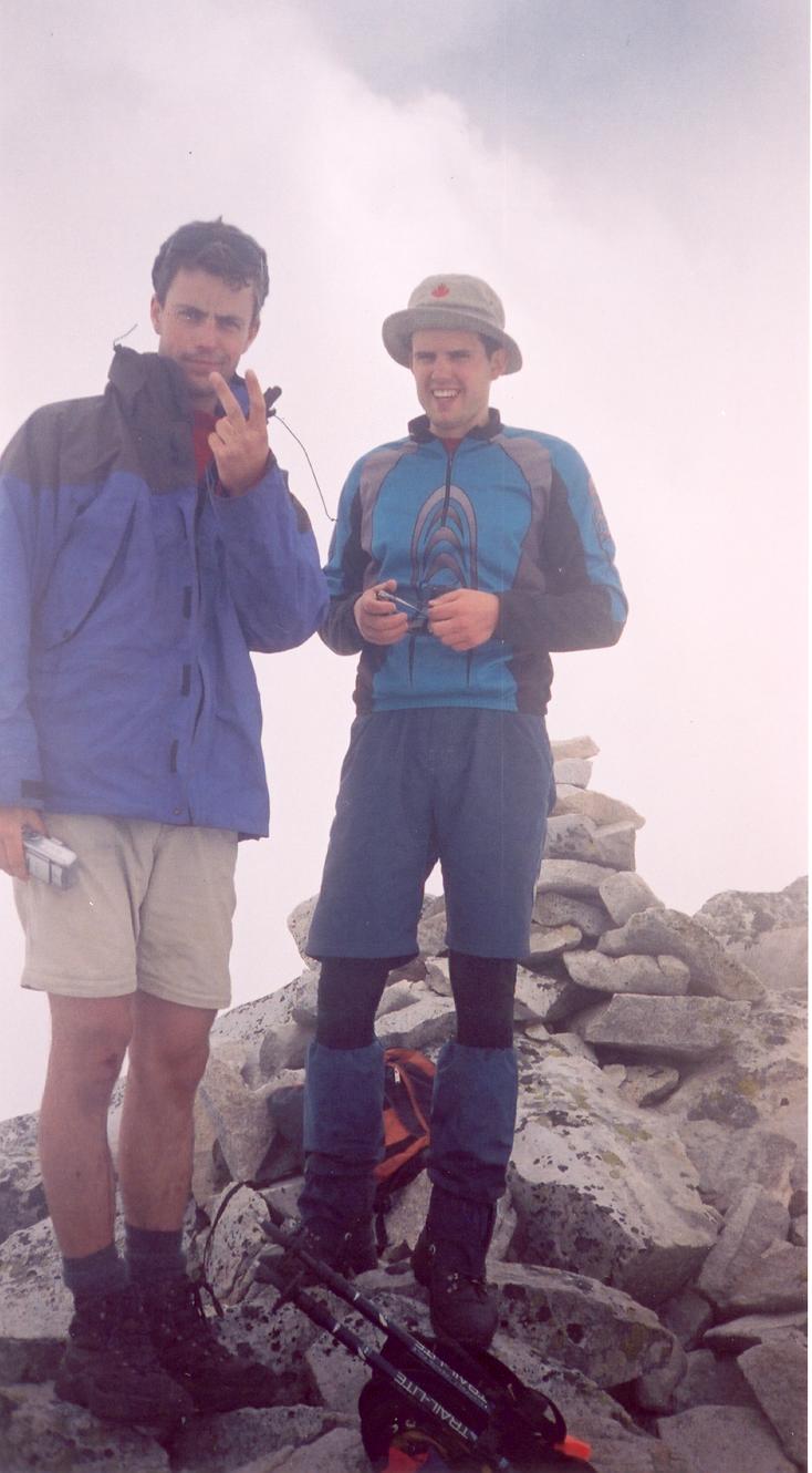
| Every traveller passing through Britannina Beach along the Sea to Sky highway on a clear day notices Mount Sedgwick across Howe Sound. Its summit rises to 2077m above the northwest corner of the sound, presenting smooth snow in winter and a granite ramp in summer. Early July lies between these two, with much of the ridges being dry and many patches of deeper snow between. On July 5, 2003, Reid Holmes, Matt Brown, and I climbed the South Ridge of Sedgwick. See Reid's and Matt's photos, including GPS track overlaid on the topo map and elevation profile. | ||
 |
 Location Location |
|
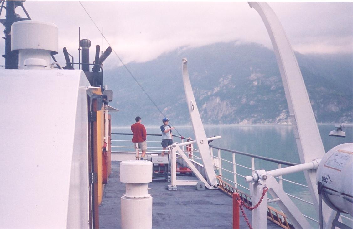
| The common approach to Sedgwick requires taking the free ferry from Darell Bay (just across from Shannon Falls) to Woodfibre. The ferries run about every 1.5 hours; the first ferry leaves Darell Bay at 7:15am and the last ferry leaves Woodfibre at 9:45pm. The crossing takes about 15 minutes. From Woodfibre, 6.5 km of logging roads lead to the trailhead at the metal footbridge (600m). Bring your bike. | ||
 Location Location |
||
|
A Guide To Climbing And Hiking In Southwestern British Columbia.
Bruce Fairley. Gordon Soules Book Publishers. 1986.
Scrambles in Southwest British Columbia. Matt Gunn. Cairn Publishing. 2005. |
||
 |
 |
|
| We had strapped the bikes to the rack the previous evening for a quick getaway Saturday morning. I picked up Matt and Reid on campus at 6:00am. We made the 7:15am ferry with about 30 seconds to spare and enjoyed the views on the ride across. Upon reaching the western shore, we began the long uphill bike ride. After about 1.5 hours, we reached the metal footbridge and the trailhead at around 600m elevation. We left our bikes and changed into boots. Half an hour later, we were walking on the dam at the edge of Henriette lake at 900m. We quickly explored the cabin (it's quite nice) before continuing on upward. Upon breaking into the alpine, we spent about one third of our time on trail or rock, and two thirds on snow. The trail weaves up and down around 1400m for several kilometres along the ridge toward and over Mount Roderick. The approach is long (19km one way) and had us concerned about returning in time to catch the last ferry. The final scramble to the summit is enjoyable third-class rock scrambling. With Matt and Reid well ahead of me, I reached the summit at 3:30pm. Unfortunately, views were not to be had. We spent most of the day in cloud, which made the temperature more pleasant and the snow somewhat firmer. The descent was quick, with much boot skiing and rapid downhill hiking. We were back at the dam just after 7:30pm. After deciding we were too late for the 8:10pm ferry, we took a long break sitting on the dam, before continuing on and enjoying the fast bike descent back to the plant. Here we relaxed on the helipad and watched a large ship dock while waiting for the ferry. Mmmm, McDonald's. | ||
