| ||||||||
|
| ||||||||
 |
Trip Summary
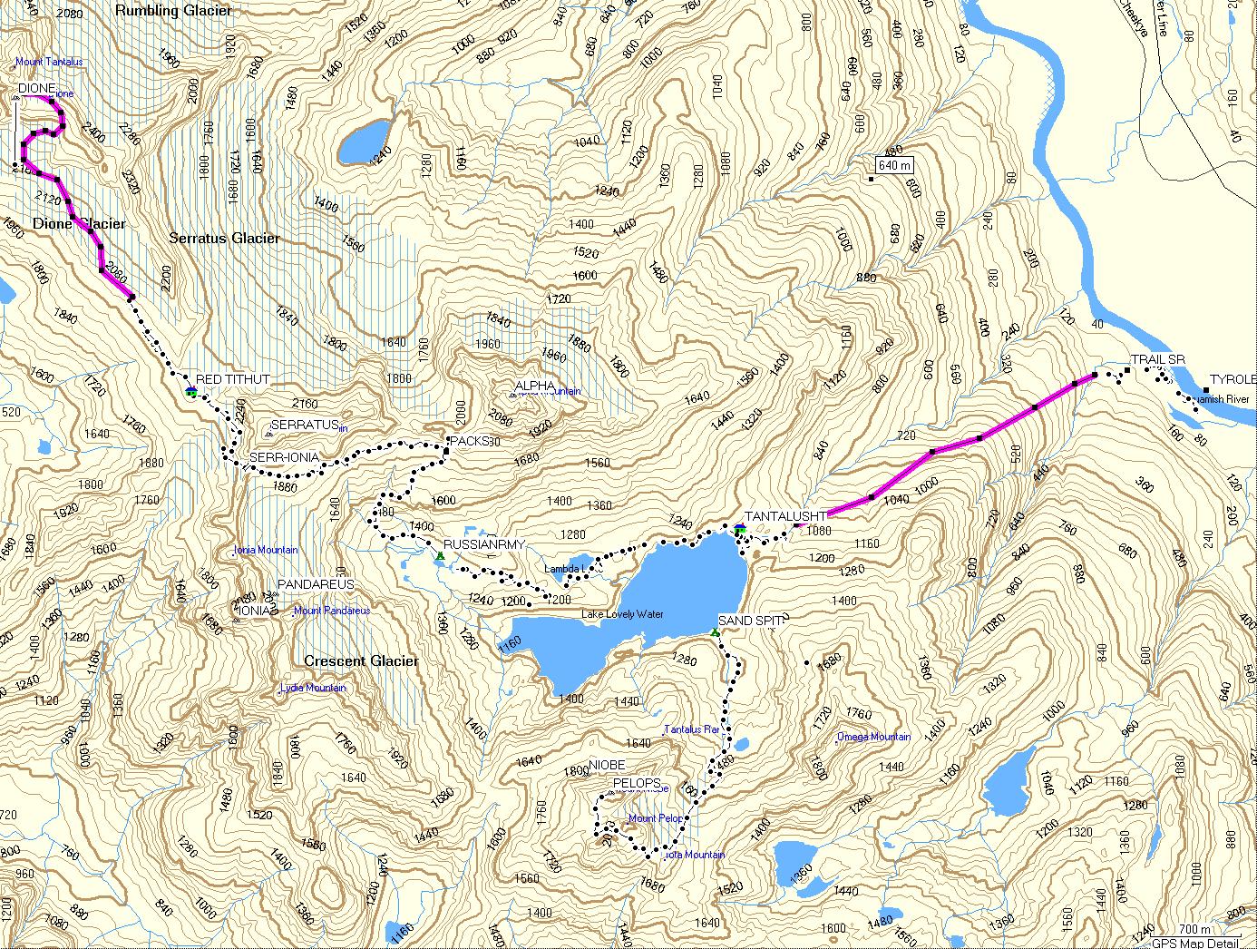
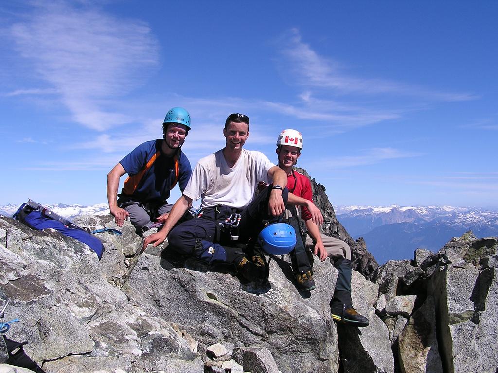
Starting from the eastern shore of the Squamish River, our party of three, Matt Brown, Reid Holmes, and Steph Durocher, spent five days in the southern and central Tantalus range visiting the summits of Alpha, Dione, Serratus, Pelops, and Niobe. Bivies were spent at the Russian Army Camp, the Red Tit Hut (2), and the Sand Spit Camp on Lake Lovely Water. Highlights included route-finding on Dione and Serratus. Located just northeast of Squamish, Tantalus Provincial Park contains some of the most spectacular alpine terrain on the West Coast. Amazingly, although this alpine playground contains dozens of quality peaks in close proximity of Vancouver, the area appears to remain uncrowded due to its isolation from the Sea to Sky corridor by the Squamish River. Parties typically fly in or ferry across the river. Also see Matt's panoramas and Reid's photos. | |||||||
 |
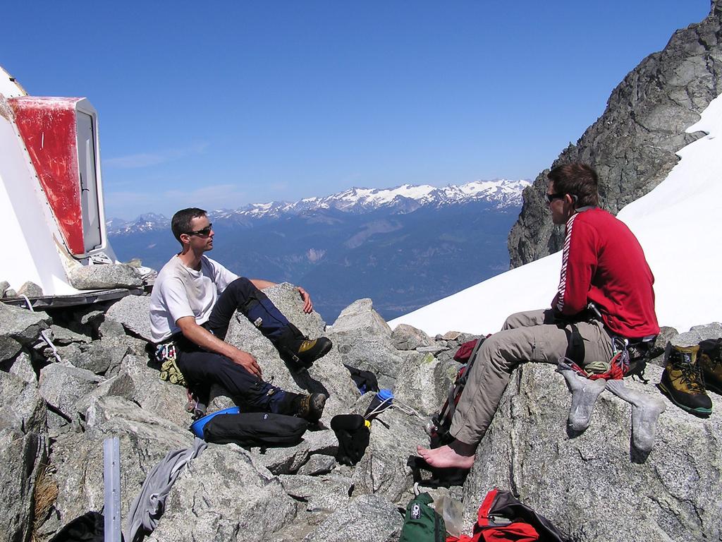
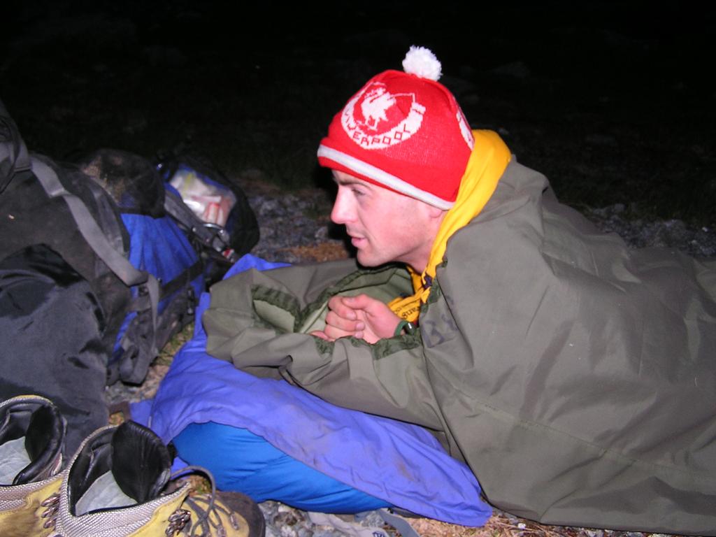
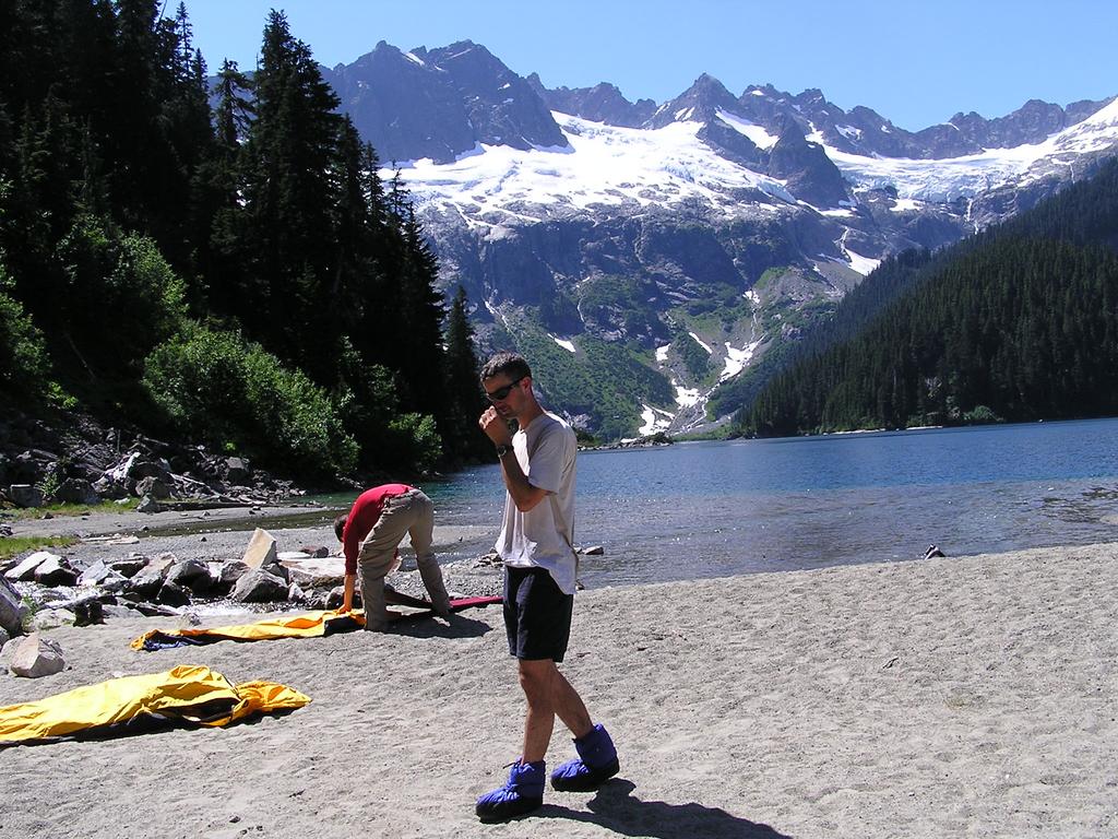
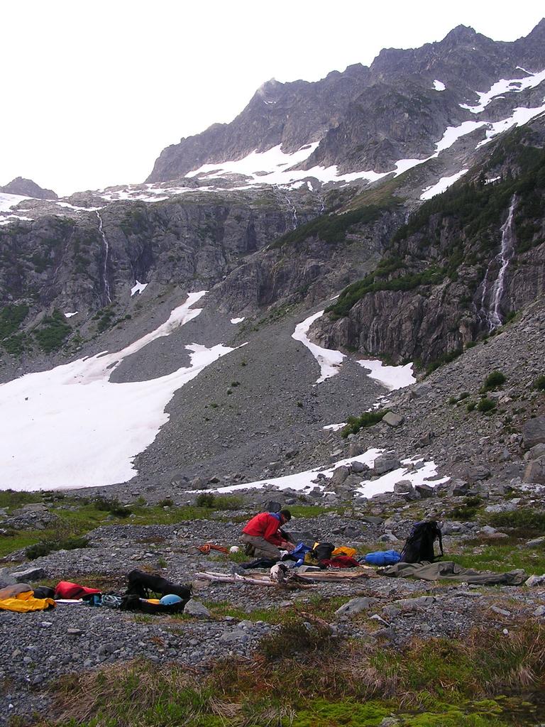 our bivy at the Russian Army Camp |
|||||||
|
||||||||
 |
 |
 |
||||||
 |
 |
 |
||||||
|
Day 2 - Friday
July 16 - Alpha
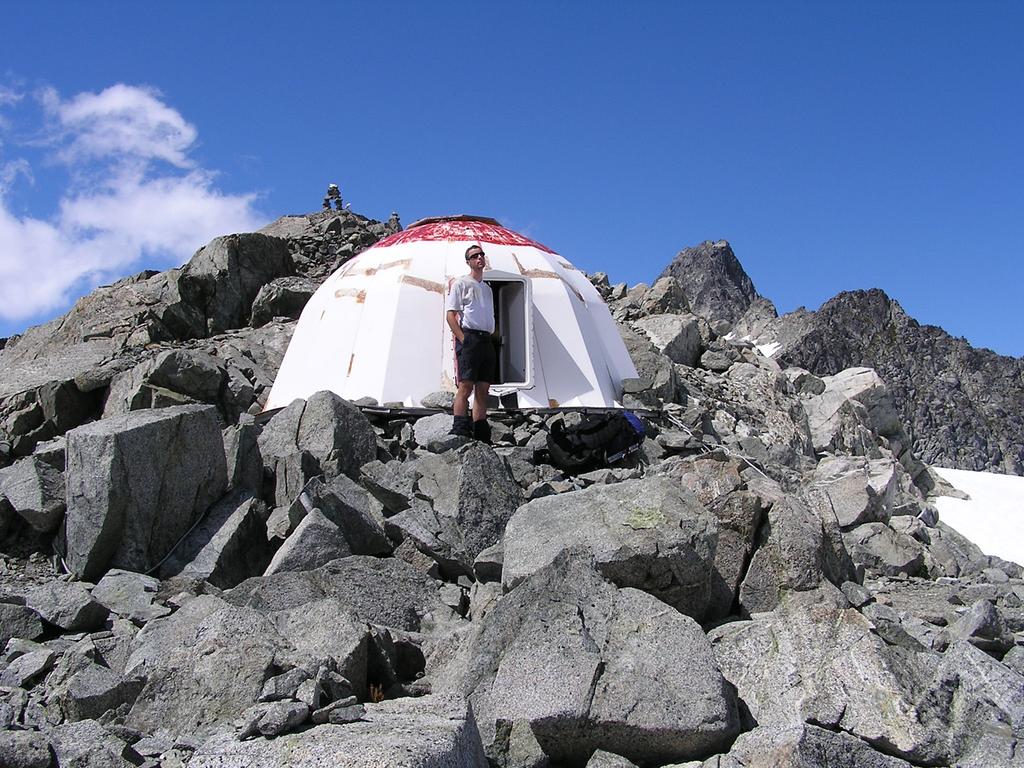
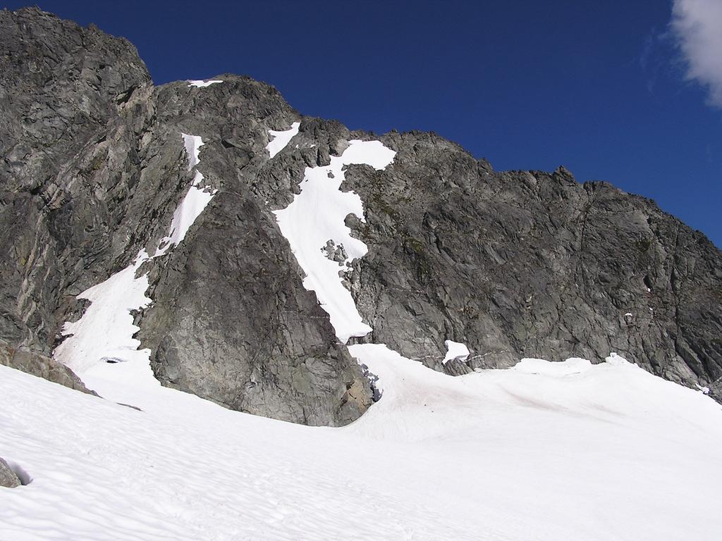
We rose at 5:00 am to very low-lying clouds and fog obstructing the peaks overhead. We headed upward slightly right of the right-hand gully toward the Serratus-Alpha col. Here we dropped our packs and headed up the West Ridge of Alpha. The route is mostly straightforward third-class scrambling with only one tricky wet fourth-class corner outfitted with a fixed rope. We soon reached the summit [elevation 2305 m] by 9:30 am. The fog almost broke and we caught a quick glimpse of the Dione and Tantalus above the clouds. If time allowed, after crossing over to the Serratus-Ionia col we hoped to climb the South Face Couloir on Serratus. The traverse below the long South Face of Serratus involved much loose scree and soft 35°-40° snow slopes. We roped up just after crossing the col before arriving at the Red Tit Hut [elevation 2050 m] at 2:00 pm. To our disappointment, at the base South Face Couloir was an immense bergschrund, 6 m up and at least 15 m down into an overhanging moat. The surrounding rock looked mostly bleak except one possible line to the right. However, crossing the moat did not seem possible by any safe means due to its consistently huge width and depth. Instead we scrambled a small nearby rock ridge for views of the area and took the rest of the afternoon to relax in the sun at the hut. Of note are the exceptional views from the hut: one can see both Whistler and UBC, from Swartz Bay to Strathcona Park on the coast of Vancouver Island, Baker, Shuksan, and Glacier in Washington, and most of the southern Coast Range. | ||||||||
 |
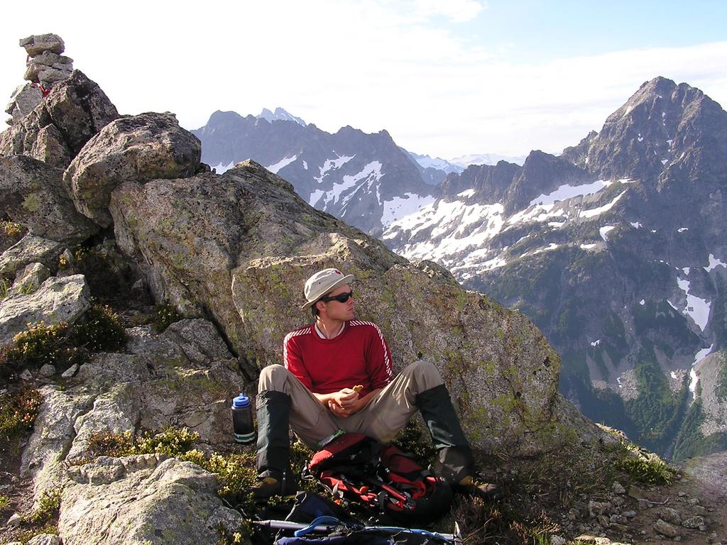
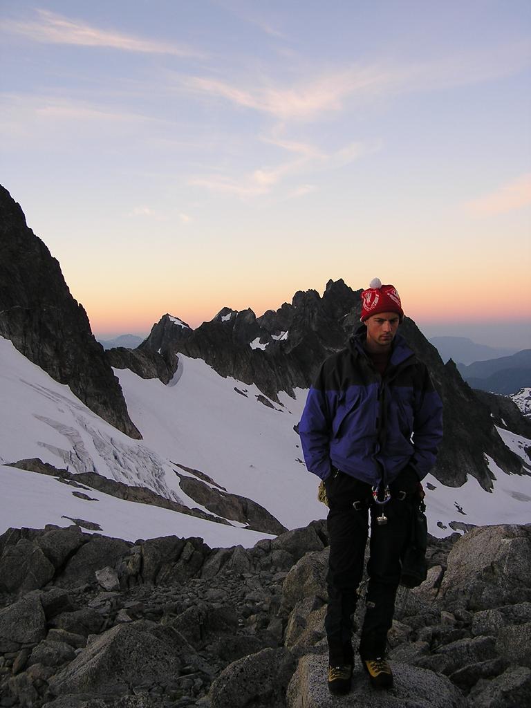 Matt (likely dreaming about his ladyfriend) before our climb of Dione |
 |
||||||
 |
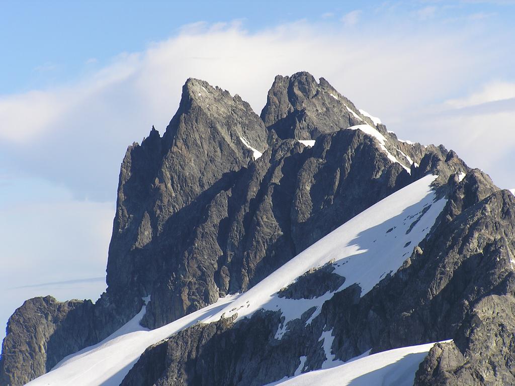
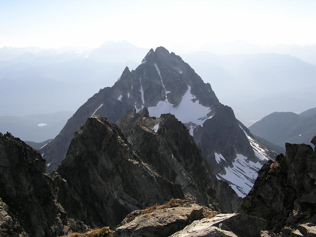
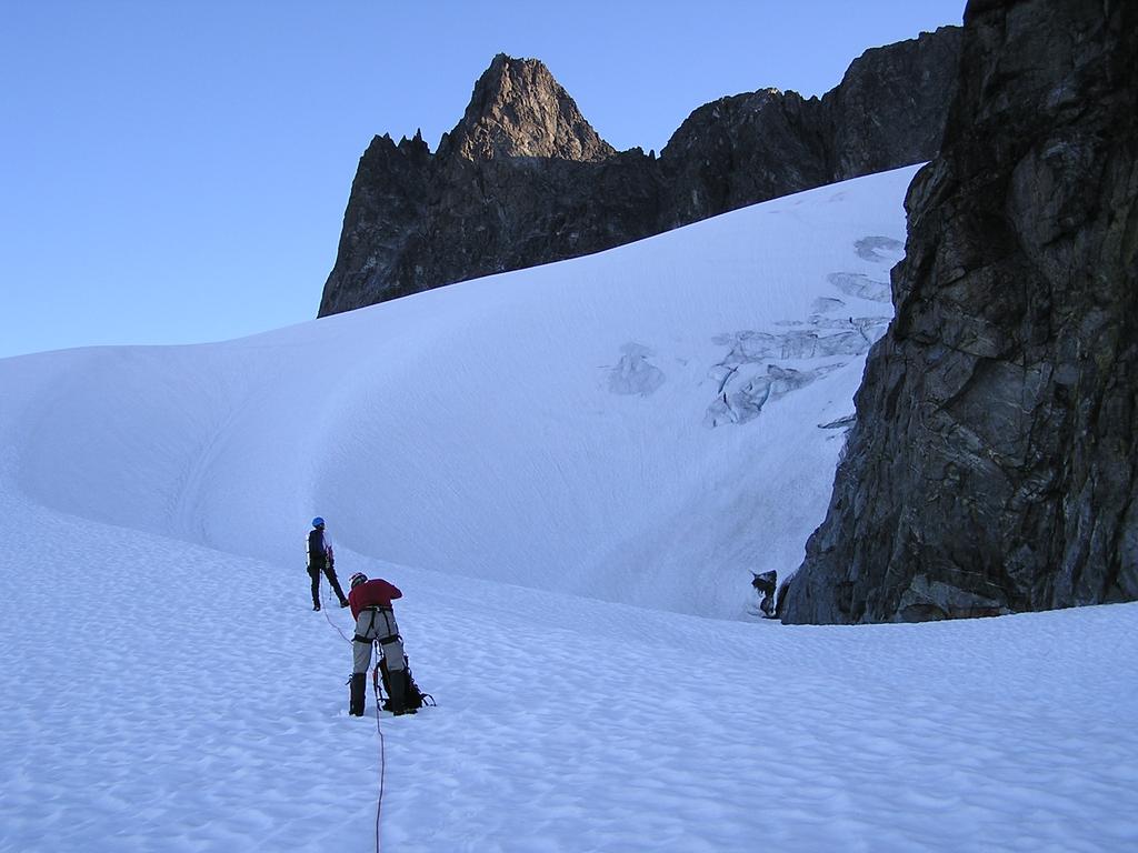
 the South Ridge of Dione with Alpha behind as seen from the summit of Dione |
 |
||||||
Day 3 - Saturday
July 17 - Dione
| ||||||||
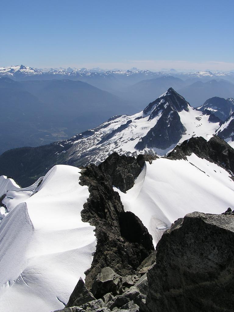
 |
 Reid and Matt descend the Southwest Couloir of Serratus. |
 |
||||||
|
Day 4 - Sunday
July 18 - Serratus, Pelops, Niobe
Again we rose at 4:30 am and headed across the Serratus-Ionia col where we left our packs to climb Serratus. The couloir faces west and the snow does not see sunlight until late morning. As a result, the snow stays quite hard and required front pointing and a good effort kicking steps to the top (thanks Matt!). Above the snow, one can choose between loose third class or more solid fourth-class rock to the summit. With perfectly clear skies we reached the summit at 8:00 am [elevation 2326 m]. After returning to the col we began our descent below Serratus down the nearest gully back to the Russian Army Camp [elevation 1380 m]. After faffing around trying to find the trail back to Lambda Lake we were back at the Tantalus Hut on Lake Lovely Water by 2:00 pm. Shortly thereafter we made our way to the Sand Spit Camp [elevation 1165 m] also on the lake. This campsite is certainly among the most spectacular anywhere: a small sand peninsula juts out into Lake Lovely Water with a complete uninterrupted 360° view of all surrounding peaks: Alpha, Serratus, Ionia, Pandareus, Lydia, Niobe, and Omega. Best of all, no crowds here; we had the place to ourselves on a sunny July weekend. After a quick break Reid and I decided to scramble the nearby summits Pelops and Niobe while Matt wisely opted to spend the afternoon taking in rays at our beach campsite. After a quick dip in the (cold) lake, at 3:00 pm Reid and I headed up toward the Omega-Niobe basin with Matt Gunn's route description in hand. After boulder-hopping across the basin and a long snow climb we hiked up the heather and rock second-class Southeast Face to the summit of Pelops at 5:30 pm [elevation 2015 m]. Only 100 m in elevation separate Pelops and Niobe by their col and 45 minutes later we were on the summit of Niobe [elevation 2021 m]. After a quick descent (much boot skiing) we were back at the excellent Sand Spit Camp by 8:00 pm, tired and hungry. | ||||||||
 |
 |
 |
||||||
|
Day 5 - Monday
July 19 - down to the Squamish River
After such a perfect vacation who could complain about a little rain? At around midnight the rain started. Perhaps unexpectedly, all three of us stayed completely dry in our bivy sacks. The rain conveniently halted for almost one hour at 6:00 am allowing us to pack before beginning the hike down to the Squamish River [elevation 40 m] in the rain. After crossing the river we drove off at around 12:30 pm and headed directly to 7-11 for an essential slurpee.
Reference Alpine Select. Kevin McLane. Elaho Publishing Corporation. 2001. Scrambles in Southwest British Columbia. Matt Gunn. Cairn Publishing. 2005. A Guide To Climbing And Hiking In Southwestern British Columbia. Bruce Fairley. Gordon Soules Book Publishers. 1986. | ||||||||