|
|
||
 |
 |
|
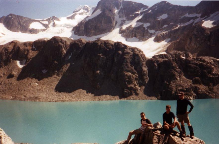
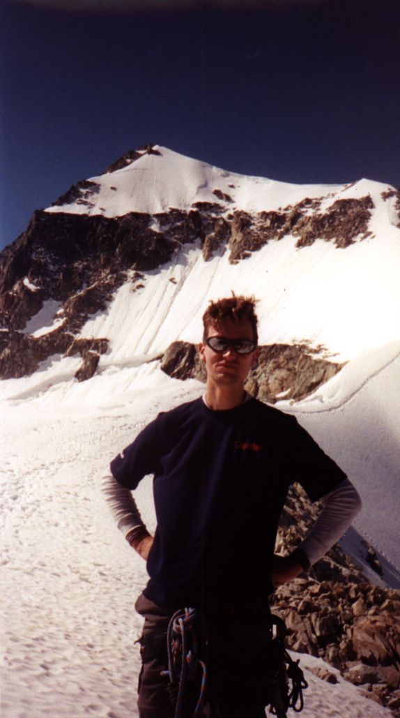
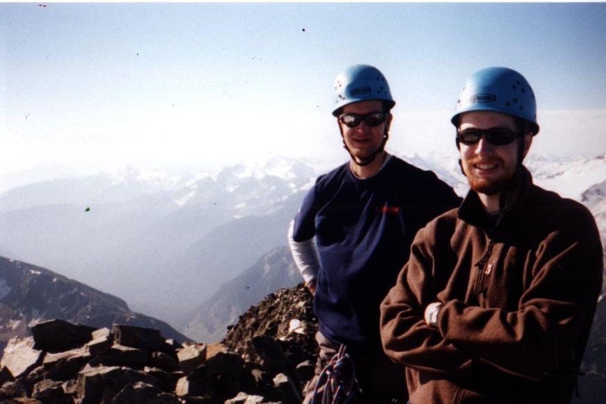
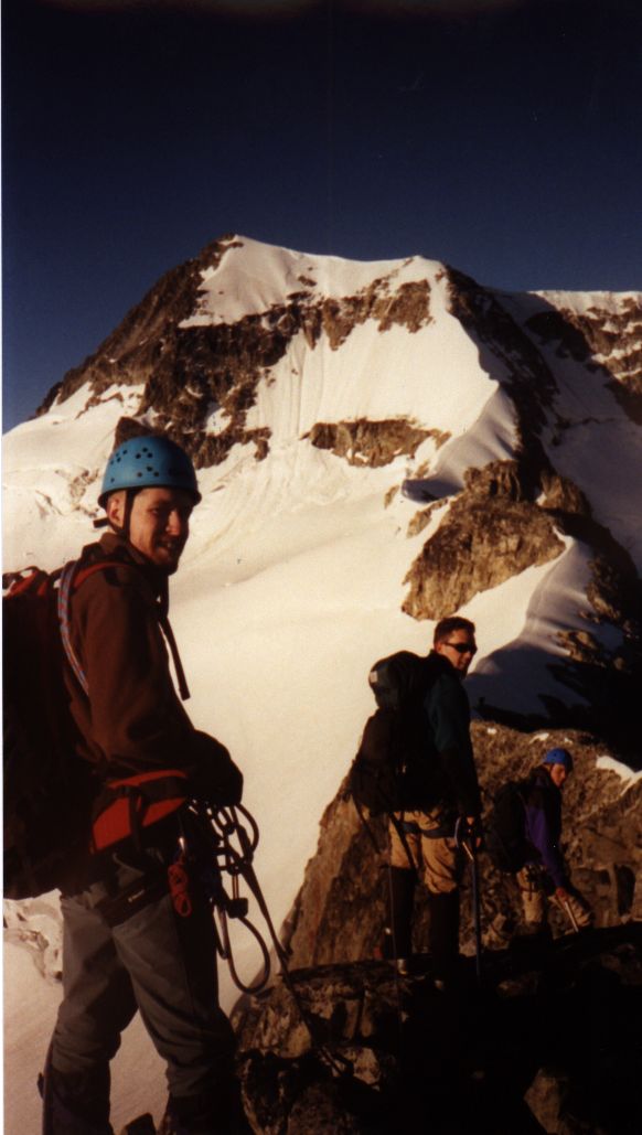
| Mount Wedge lies in the north of Garibaldi Provincial Park, just a few kilometres northeast of Whistler. At 2904 m, its summit is the highest in Garibaldi. Mark McCann, Matt Brown, Jason Clifford, and I climbed Wedge August 11 - 12, 2001. We reached the summit at 9:00 am on August 12. Conditions were exceptional: warm during the night with a clear sky allowing both stars and moonlight for a mostly headlamp-free approach. We followed the northeast arête route. Check out Matt's Wedge photos. | ||
 |
 Location Location |
|
| Wedge is located just
south of Wedgemount Lake, near Parkhurst, Weart, Lesser Wedge and James
Turner. Wedgemount Lake provides an excellent basecamp location (Lake Louise
minus the video cameras, the parking lot, and the guy in lederhosen blowing
into that 15 m horn).
Access is less than 15 minutes from Whistler and 2 hours from Vancouver. |
||
 |
 |
|
| August 11 - Drive
Vancouver to Whistler (100 km). Park at Wedgemont Lake access in Garibaldi
Park at 11:00 am (750 m). Hike to Wedgemount Lake at 3:30 pm (1890 m) avoiding
wasp stings. Set camp. Swat flies. Swim. Eat. Sleep.
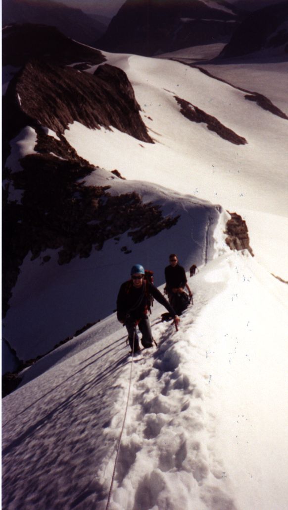
August 12 - Rise at 3:30 am. Follow talus around Wedgemount Lake to foot of the glacier. Traverse the glacier (avoiding crevasse falls) to and up the face on the left below the rocky arête. Follow the arête along rock first, then snow to the short steep face below the summit. Traverse the summit ridge avoiding the corniced edge (2904 m) at 9:00 am. Descend via same route to basecamp at 12:45 pm. Break camp and descend to car. at 4:15 pm. Return to Vancouver via brewpub in Whistler. |
||
 |
 |
|
| No permits are required
for backcountry use in this area of Garibaldi. Parking is free and access
only requires a short drive from Highway 99.
Crevasses can be an issue in late season (no photo available). |
||
 |
 |
|
| Alpine Select.
Kevin McLane. Elaho Publishing
Corporation. 2001.
A Guide To Climbing And Hiking In Southwestern British Columbia. Bruce Fairley. Gordon Soules Book Publishers. 1986. Garibaldi Provincial Park website. BC Parks. |
||
 |
 |
|
| Canada NTS 92 J/2
Whistler 1:50,000.
Garibaldi. International Travel Maps. 1:100,000. Garibaldi Provincial Park, BC Parks (pdf) |
||
 |
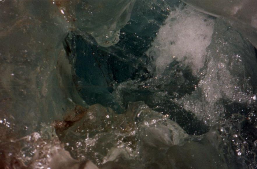 |
In case you're wondering, to the left is a look inside an icy funnel washing hundreds of litres per minute into the interior of the glacier. |
