|
|
||
 |
 |
|
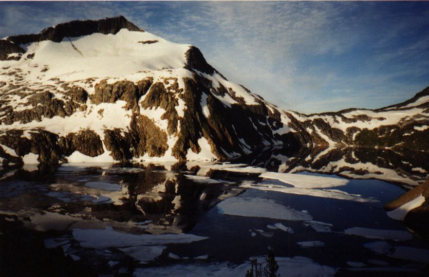
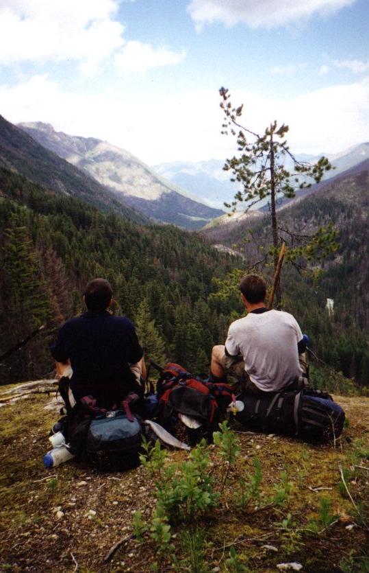
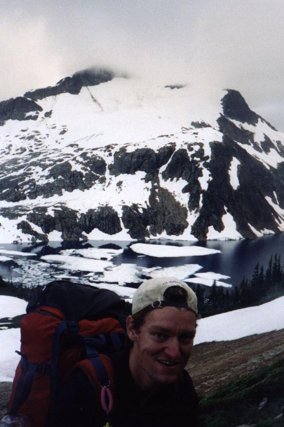
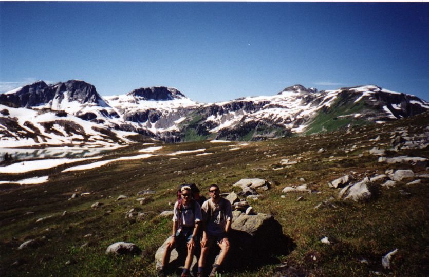
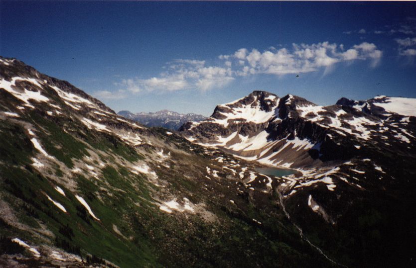
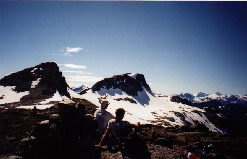
| The Stein Valley is a heritage park located east of Garibaldi park. It spans from the Fraser River along the Trans-Canada Highway to Duffey Lake near Lilloet and Pemberton. From August 22 - 28 1999, Blair Beesley, Conor Murphy, and I backpacked the Stein Valley trail. We started at the lower end, where the Stein River flows into the Fraser, followed the river to its source in Stein Lake, up to Tundra Lake, and out at Lizzie Lake. | ||
 |
 Location Location |
|
| August 22 - Bus from
Vancouver to Lytton (250 km). Camp on riverbank at Fraser and Thompson
confluence.
August 23 - Cross Fraser via ferry. Trailhead is 5 km away. Explore petroglyphs. Cross first cable-car. Camp at Lean-To. Grizzly at site. August 24 - Find abandoned native camp. Cross second cable-car. Camp at Logjam. Black bear at site. August 25 - Difficult route-finding through mudslide, forest fire debris, and fallen trees. Cross third cable-car. Camp at Stein Lake. August 26 - Steep uphill (850 m vertical gain) to ridge. Great alpine traverse. Camp at Tundra Lake. August 27 - Circle Tundra Lake on talus. Cross pass to Caltha Lake. Pass Arrowhead and Heart Lakes. Camp at Lizzie Lake cabin. August 28 - Hike out to Duffey Lake road. Hitchhike to Whistler (100 km). Bus to Vancouver (100 km). |
||
 |
 |
|
| A free ferry crosses
the Fraser river just past Lytton. Parking is free in the park at both
trailheads. You will need to shuttle vehicles to the other end. This is
quite time-consuming as Lytton to Duffey Lake Road is 450 km one-way. Bus
access to Lytton gets you within 5 km hiking distance of the trailhead.
The Duffey Lake exit, however, requires vehicle access to get to Pemberton
or Lilloet for bus or train.
The middle of the hike, between the Lean-to and Stein Lake campsites requires extensive route-finding. This is due to a forest fire which knocked over thousands of trees along the trail. Along with mudslides, the new growth has overgrown many parts of the old trail. See the BC Parks website for more information. |
||
 |
 |
|
| Canada NTS 92 J/1
Stein Lake 1:50,000
Canada NTS 92 I/5 Stein River 1:50,000 Canada NTS 92 J/8 Duffey Lake 1:50,000 Stein Valley map, BC Parks (pdf) Stein Valley: Wilderness Guidebook. Gordon White. Sandhill Books
Marketing. 1996.
|
||
 |
 |
|
