| The Stein Valley is a heritage park located east of Garibaldi park. It spans from the Fraser River along the Trans-Canada Highway to Duffey Lake near Lilloet and Pemberton. The Lytton trailhead is about 250 km northeast of Vancouver. On June 5th and 6th Andrea and I returned to the eastern Stein Valley. (See my 1999 Stein trip report.) | ||
 |
 |
 |
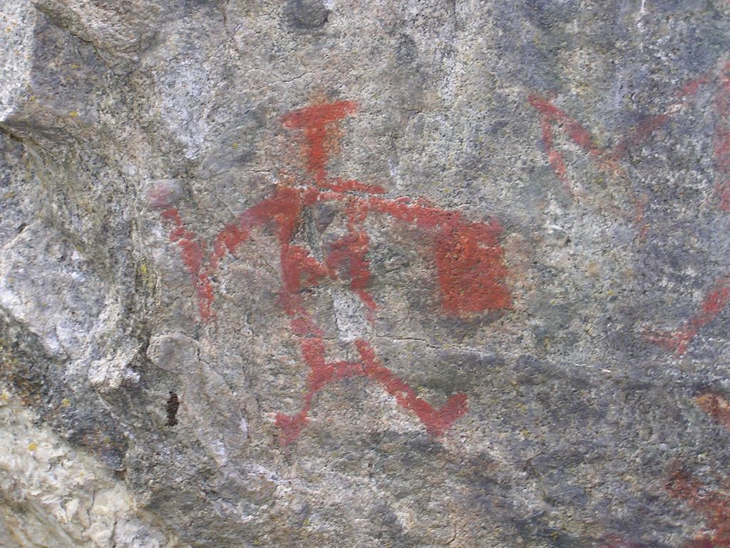
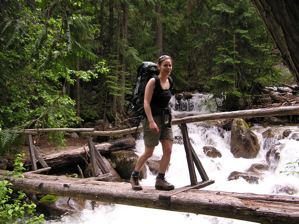
| The weather forecast looked bleak everywhere in southwestern BC and we hoped not to get too drenched. As it turned out, we had plenty of sunshine and the rain jackets never left our packs. We chose the Stein as our destination since its eastern end is dryer and free of snow in June, unlike most weekend backpacks near Vancouver. We left Vancouver at 6 am on Saturday and had our packs saddled by 9:30 am. Early along the hike just off the trail are the petroglyphs. To locate them, after descending the north end of the Devil's Staircase back to the water, watch for the obvious trail that forks back downstream along bank of the Stein River. There is a large fallen tree/branch over the trail at the fork. We continued to the first crossing. The cable car has now been replaced by a suspension bridge. We stayed at the campsite near the old cable car. | ||
|
For more information, see: Stein Valley map, BC Parks (pdf). Stein Valley: Wilderness Guidebook. Gordon White. Sandhill Books Marketing. 1996. |
||
