Lake Erie - October 2008
Day 1: Waterloo to Hamilton to Port Dover
distance cycled: 134 km
time cycling: 6h17
In 2006 I cycled to the shores of lakes Superior
and Huron.
Given the splendid autumn weather and Sophie and Andrea's visit to Saskatoon
over the long weekend,
I considered cycling to the other two Canadian Great Lakes: Ontario and Erie.
time cycling: 6h17
My objectives were simple: explore small towns in southwestern Ontario, take in the fall colours, and get a bit of fresh air and exercise.
photo:
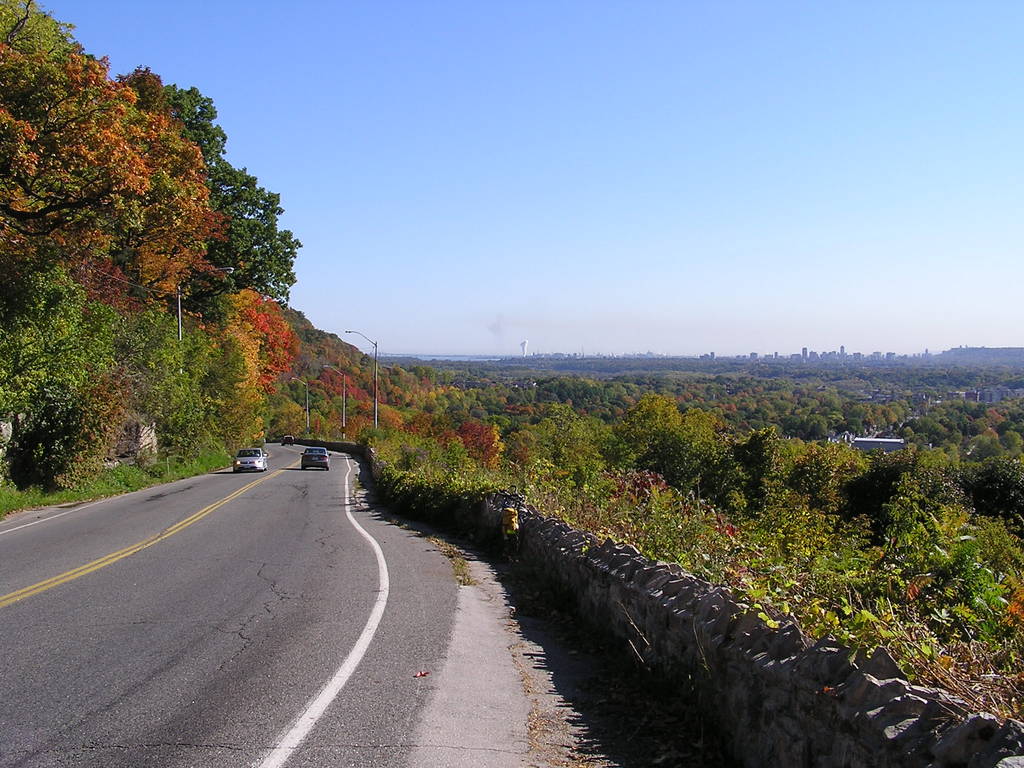
Heading south into Dundas and Hamilton, the route descends the steep
Niagara escarpment.
The cliff must be climbed again upon leaving Hamilton to the west
(on the right horizon, next to the Hamilton skyline).
Lake Ontario can be seen to the left (northeast) of Hamilton.
I left Waterloo at 9:00 on October 10.
I avoided Kitchener and the suburban part of Cambridge by passing
through Blair township and the old downtown Cambridge before
crossing east across the Grand River.
Highway 8 southeast to Dundas was enjoyable;
both traffic and road conditions were decent for cycling.
My route passed by Freewheel Cycle in Dundas, where I purchased my bike in August; I stopped in for a free tune-up.
photo:
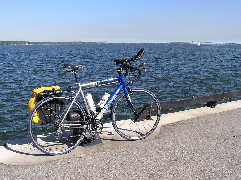
I headed north through downtown Hamilton to get a glimpse of
the water's edge between marinas and steel factories.
After climbing back up the escarpment, I headed southwest along Highway 6.
Unfortunately, a headwind picked up, as did holiday weekend traffic driving to
lakeshore cottages.
After an enjoyable break at a cafe in the nice town of Caledonia,
I continued cycling into the frustrating headwind
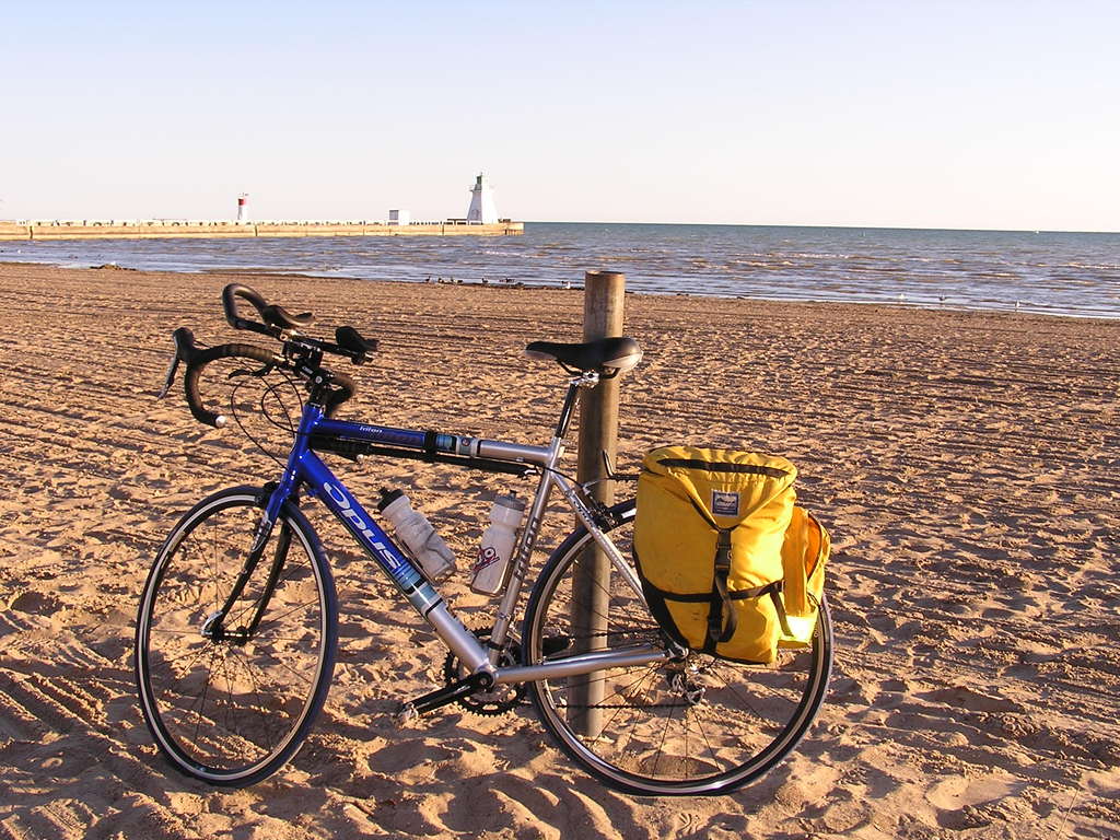
and eventually made it to Port Dover, where I stayed at the Brant Hill Inn.
Port Dover is a small beach tourist town, definitely worth a quick visit.
photo:
I had dinner at restaurant overlooking the shore of Lake Erie,
about 5 metres from the spot in which this photo was taken.
Day 2: Port Dover to Waterloo
distance cycled: 106 km
time cycling: 4h32
I started out heading west on Highway 3 with the possibility of
spending three days on the road and going as far west as Lake Huron
before returning to Waterloo.
This, however, required following busy highways that cut a diagonal across
the grid of secondary roads.
The traffic and road conditions proved annoying, so I decided to
take Road 25 north (which becomes Road 3 near the town of Princeton).
This turned out to be a good decision: the road is well paved for
its entire length, and sees little traffic. The scenery was pleasant
and the road isn't overly hilly.
There isn't much in terms of towns.
Drumbo was the biggest village on the route;
thankfully there was a small diner serving a BLT sandwiches.
time cycling: 4h32
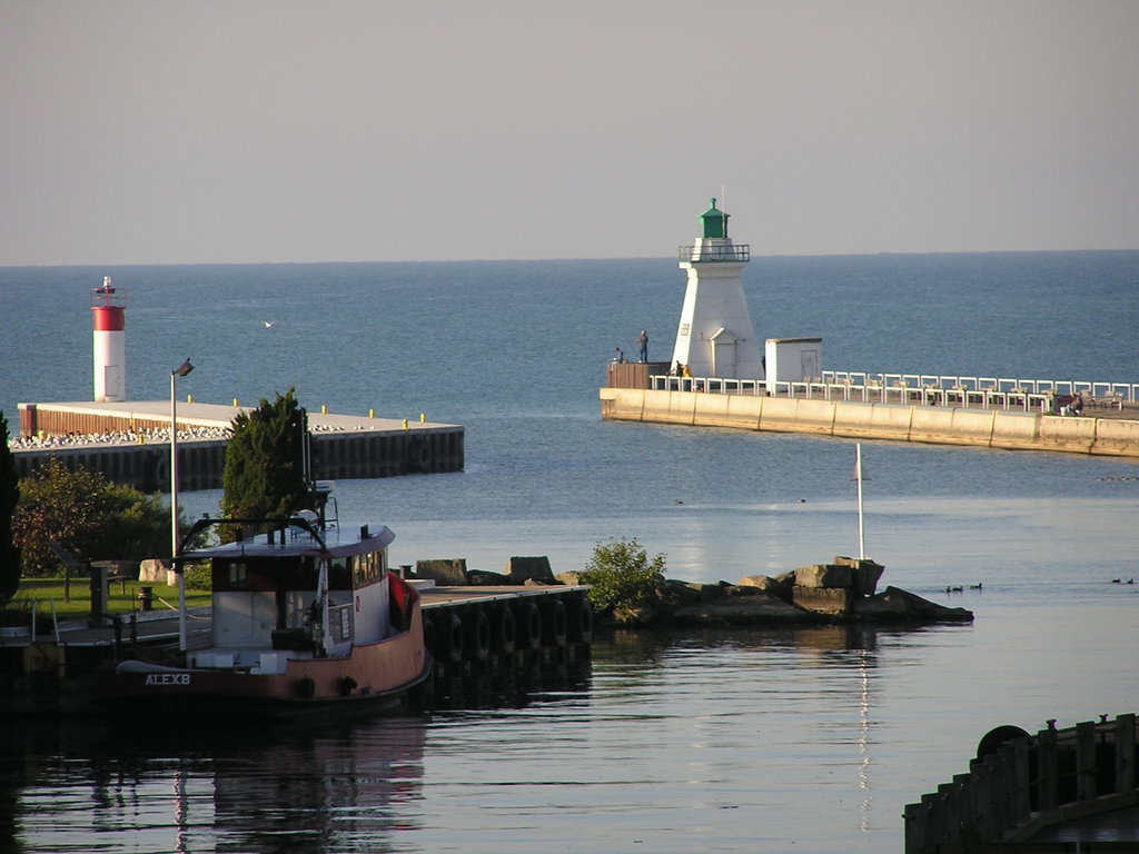
photo:
the entrance to the waterway in Port Dover
The remainder of the route was fun; a small tailwind helped speed
things along. Arriving home in the mid-afternoon sunshine was a nice change
(as opposed to getting off the saddle exhausted at sundown).
photo: pumkins along Road 25

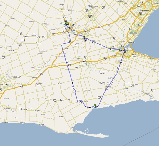
photo: route map - click for a link to Google maps
